Highland night lights from space
Night Light of Highland (Indiana) from space (United States) Src. Average luminocity for 10x10km area is 90.6616% and for 50x50km: 54.1962%.
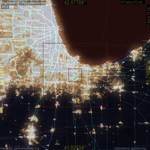
Analysis of Highland night lights 2016
Square area 10x10 km:
 34.52%
90-99
30.61%80-89
13.61%70-79
12.07%60-69
7.48%50-59
1.7%40-49
0%30-39
0%20-29
0%10-19
0%0-9
0%Square area 50x50 km:
19.63%90-99
11.69%80-89
6.1%70-79
6.4%60-69
6.69%50-59
5.09%40-49
3.52%30-39
3.82%20-29
6.01%10-19
9.09%0-9
21.97%Clear (daylight) street map image can be seen on geolist.org.
Map coordinates:
42° 4' 39.6" North, 88° 9' 18.4" West
41° 33' 13.1" North, 87° 27' 7.1" West
41° 1' 31.2" North, 86° 44' 55.9" West
Some cities around Highland sort by population:
• Hammond
5.2 km =3.2 mi,  309°
309°
• Calumet City
9.4 km =5.8 mi,  316°
316°
• Schererville
8.3 km =5.2 mi,  181°
181°
• Lansing
7.3 km =4.5 mi,  279°
279°
• Munster
5.2 km =3.2 mi, 283°
• Griffith
3.7 km =2.3 mi,  140°
140°
• Dyer
8.8 km =5.5 mi,  221°
221°
• Lynwood
7.8 km =4.8 mi,  247°
247°
4921402 (p: 22,936)
Sources (retrieved 2019-11-25):
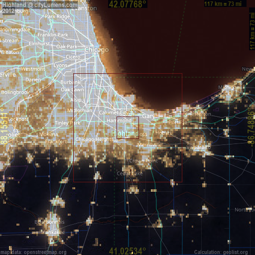
» Earth at Night: Flat Maps 2012, 2016