San Clemente night lights from space
Night Light of San Clemente (California) from space (United States) Src. Average luminocity for 10x10km area is 44.2395% and for 50x50km: 17.5014%.
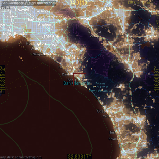
Analysis of San Clemente night lights 2016
Square area 10x10 km:
 5.42%
5.42%90-99
5.07%80-89
4.37%70-79
1.75%60-69
15.03%50-59
13.11%40-49
8.57%30-39
4.9%20-29
12.59%10-19
20.63%0-9
8.57%Square area 50x50 km:
2.12%90-99
2.46%80-89
1.5%70-79
2.53%60-69
5.14%50-59
4.15%40-49
3.16%30-39
1.87%20-29
2.76%10-19
6.73%0-9
67.59%Clear (daylight) street map image can be seen on geolist.org.
Map coordinates:
34° 0' 42.5" North, 118° 18' 54.4" West
33° 25' 37.1" North, 117° 36' 43.2" West
32° 50' 17.4" North, 116° 54' 31.9" West
Some cities around San Clemente sort by population:
• Mission Viejo
20 km =12.4 mi,  343°
343°
• Laguna Niguel
13.8 km =8.6 mi,  320°
320°
• Aliso Viejo
18.7 km =11.6 mi,  325°
325°
• San Juan Capistrano
9.5 km =5.9 mi, 330°
• Dana Point
9.1 km =5.7 mi,  299°
299°
• Ladera Ranch
16.1 km =10 mi,  352°
352°
• Coto De Caza
19.8 km =12.3 mi,  6°
6°
• Las Flores
18 km =11.2 mi,  355°
355°
5391791 (p: 65,526)
Sources (retrieved 2019-11-25):
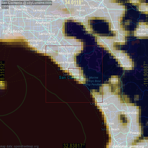
» NASA, Earths city lights 1995
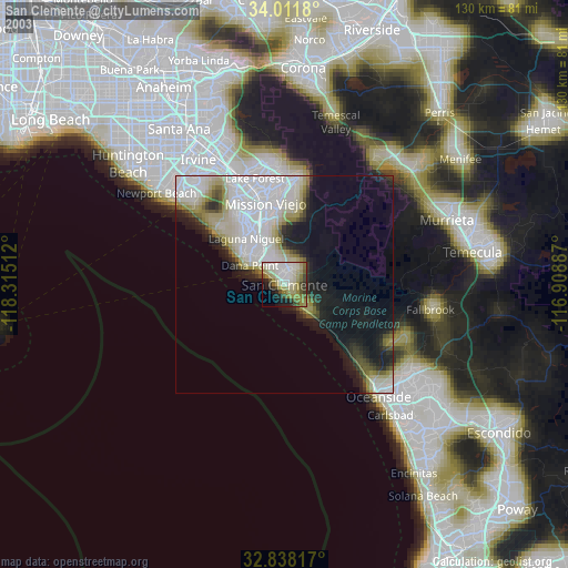
» NASA city lights 2003
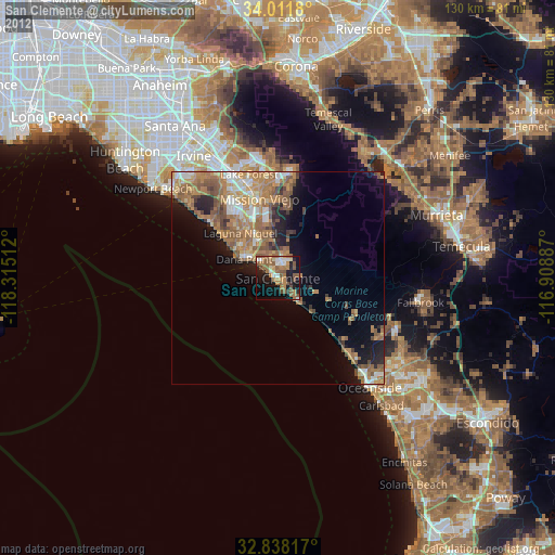
» Earth at Night: Flat Maps 2012, 2016