Ladera Ranch night lights from space
Night Light of Ladera Ranch (California) from space (United States) Src. Average luminocity for 10x10km area is 64.0037% and for 50x50km: 30.8722%.
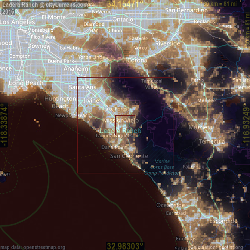
Analysis of Ladera Ranch night lights 2016
Square area 10x10 km:
 7.33%
7.33%90-99
11.9%80-89
3.66%70-79
14.47%60-69
23.44%50-59
12.45%40-49
12.64%30-39
6.04%20-29
6.04%10-19
2.01%0-9
0%Square area 50x50 km:
7.32%90-99
5.52%80-89
2.56%70-79
3.84%60-69
6.94%50-59
5.6%40-49
3.93%30-39
2.53%20-29
3.75%10-19
9.68%0-9
48.34%Clear (daylight) street map image can be seen on geolist.org.
Map coordinates:
34° 9' 17" North, 118° 20' 19.5" West
33° 34' 15.1" North, 117° 38' 8.2" West
32° 58' 58.9" North, 116° 55' 57" West
Some cities around Ladera Ranch sort by population:
• Mission Viejo
4.7 km =2.9 mi,  313°
313°
• Laguna Niguel
8.6 km =5.3 mi,  231°
231°
• Aliso Viejo
8.5 km =5.3 mi,  265°
265°
• Rancho Santa Margarita
8.3 km =5.2 mi,  21°
21°
• San Juan Capistrano
8.1 km =5 mi,  197°
197°
• Laguna Hills
8.5 km =5.3 mi,  302°
302°
• Coto De Caza
5.8 km =3.6 mi,  50°
50°
• Las Flores
2.1 km =1.3 mi, 23°
5364199 (p: 22,980)
Sources (retrieved 2019-11-25):
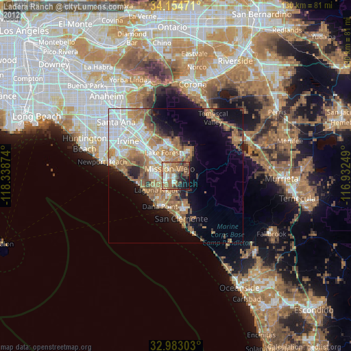
» Earth at Night: Flat Maps 2012, 2016