Mission Viejo night lights from space
Night Light of Mission Viejo (California) from space (United States) Src. Average luminocity for 10x10km area is 81.141% and for 50x50km: 35.8892%.
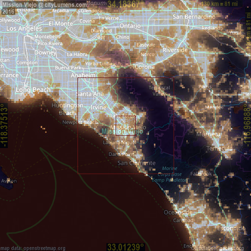
Analysis of Mission Viejo night lights 2016
Square area 10x10 km:
 17.58%
90-99
20.15%80-89
9.16%70-79
29.12%60-69
17.22%50-59
5.49%40-49
1.28%30-39
0%20-29
0%10-19
0%0-9
0%Square area 50x50 km:
9.59%90-99
7.17%80-89
2.99%70-79
3.95%60-69
7.22%50-59
5.68%40-49
4.37%30-39
2.74%20-29
4.41%10-19
10.35%0-9
41.52%Clear (daylight) street map image can be seen on geolist.org.
Map coordinates:
34° 11' 1.2" North, 118° 22' 30.5" West
33° 36' 0.1" North, 117° 40' 19.2" West
33° 0' 44.6" North, 116° 58' 8" West
Some cities around Mission Viejo sort by population:
• Lake Forest
5.5 km =3.4 mi,  343°
343°
• Aliso Viejo
6.4 km =4 mi,  232°
232°
• Rancho Santa Margarita
7.8 km =4.8 mi,  54°
54°
• Laguna Hills
4 km =2.5 mi,  290°
290°
• Ladera Ranch
4.7 km =2.9 mi,  133°
133°
• Laguna Woods
5.1 km =3.2 mi,  283°
283°
• Coto De Caza
7.9 km =4.9 mi,  86°
86°
• Las Flores
4.4 km =2.7 mi,  107°
107°
5373763 (p: 97,156)
Sources (retrieved 2019-11-25):
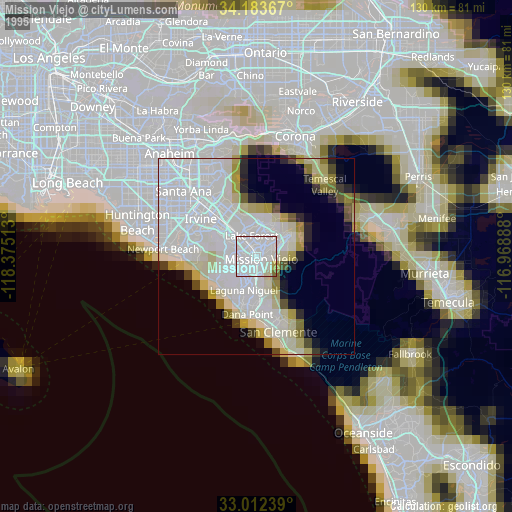
» NASA, Earths city lights 1995
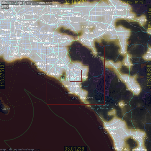
» NASA city lights 2003
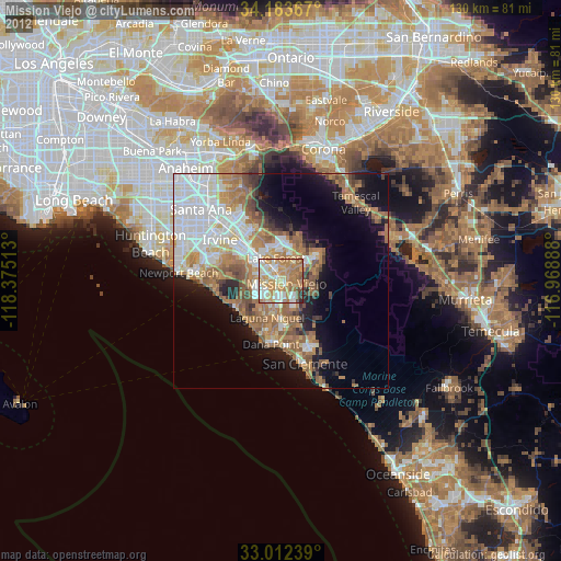
» Earth at Night: Flat Maps 2012, 2016