San Juan Capistrano night lights from space
Night Light of San Juan Capistrano (California) from space (United States) Src. Average luminocity for 10x10km area is 66.163% and for 50x50km: 26.2173%.
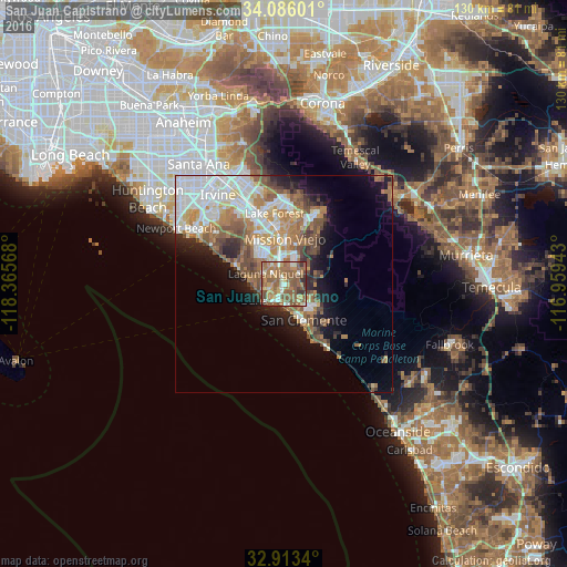
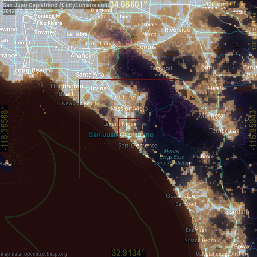
Analysis of San Juan Capistrano night lights 2016
Square area 10x10 km:
 6.78%
6.78%90-99
6.41%80-89
8.24%70-79
11.54%60-69
26.56%50-59
31.32%40-49
4.58%30-39
4.03%20-29
0.37%10-19
0.18%0-9
0%Square area 50x50 km:
6.14%90-99
4.98%80-89
2.37%70-79
3.18%60-69
5.84%50-59
4.68%40-49
3.29%30-39
1.91%20-29
3.21%10-19
7.02%0-9
57.36%Clear (daylight) street map image can be seen on geolist.org.
Map coordinates:
34° 5' 9.6" North, 118° 21' 56.4" West
33° 30' 6.1" North, 117° 39' 45.2" West
32° 54' 48.2" North, 116° 57' 33.9" West
Some cities around San Juan Capistrano sort by population:
• Mission Viejo
11 km =6.8 mi,  355°
355°
• Laguna Niguel
4.8 km =3 mi,  299°
299°
• San Clemente
9.5 km =5.9 mi,  150°
150°
• Aliso Viejo
9.2 km =5.7 mi,  319°
319°
• Dana Point
5.1 km =3.2 mi,  220°
220°
• Laguna Beach
12.1 km =7.5 mi,  291°
291°
• Ladera Ranch
8.1 km =5 mi,  17°
17°
• Las Flores
10.2 km =6.3 mi, 19°
5392229 (p: 36,454)
Sources (retrieved 2019-11-25):
» Earth at Night: Flat Maps 2012, 2016