Las Flores night lights from space
Night Light of Las Flores (California) from space (United States) Src. Average luminocity for 10x10km area is 62.8242% and for 50x50km: 31.7348%.
Analysis of Las Flores night lights 2016
Square area 10x10 km:
 7.51%
7.51%90-99
11.72%80-89
2.75%70-79
13.37%60-69
21.43%50-59
12.09%40-49
15.93%30-39
7.33%20-29
5.13%10-19
2.75%0-9
0%Square area 50x50 km:
7.28%90-99
5.61%80-89
2.62%70-79
3.84%60-69
7.27%50-59
5.79%40-49
4.26%30-39
2.85%20-29
4.13%10-19
10.37%0-9
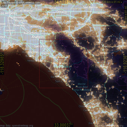
46%Clear (daylight) street map image can be seen on geolist.org.
Map coordinates:
34° 10' 18.5" North, 118° 19' 47.5" West
33° 35' 17.1" North, 117° 37' 36.2" West
33° 0' 1.3" North, 116° 55' 25" West
Some cities around Las Flores sort by population:
• Mission Viejo
4.4 km =2.7 mi,  287°
287°
• Lake Forest
8.7 km =5.4 mi,  318°
318°
• Aliso Viejo
9.6 km =6 mi,  254°
254°
• Rancho Santa Margarita
6.3 km =3.9 mi,  20°
20°
• Laguna Hills
8.4 km =5.2 mi, 288°
• Ladera Ranch
2.1 km =1.3 mi,  203°
203°
• Laguna Woods
9.5 km =5.9 mi, 285°
• Coto De Caza
4.1 km =2.5 mi,  64°
64°
5365172 (p: 5,971)
Sources (retrieved 2019-11-25):
» Earth at Night: Flat Maps 2012, 2016