Coto De Caza night lights from space
Night Light of Coto De Caza (California) from space (United States) Src. Average luminocity for 10x10km area is 44.9908% and for 50x50km: 30.8076%.
Analysis of Coto De Caza night lights 2016
Square area 10x10 km:
 3.3%
3.3%90-99
4.95%80-89
2.56%70-79
3.66%60-69
16.85%50-59
10.07%40-49
19.78%30-39
8.06%20-29
4.03%10-19
16.48%0-9
10.26%Square area 50x50 km:
5.39%90-99
5.03%80-89
2.63%70-79
3.78%60-69
8.1%50-59
6.23%40-49
4.69%30-39
3.14%20-29
4.9%10-19
12.41%0-9
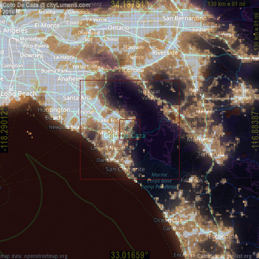
43.68%Clear (daylight) street map image can be seen on geolist.org.
Map coordinates:
34° 11' 16.1" North, 118° 17' 24.4" West
33° 36' 15.1" North, 117° 35' 13.2" West
33° 0' 59.7" North, 116° 53' 1.9" West
Some cities around Coto De Caza sort by population:
• Mission Viejo
7.9 km =4.9 mi,  266°
266°
• Lake Forest
10.6 km =6.6 mi,  296°
296°
• Rancho Santa Margarita
4.3 km =2.7 mi,  339°
339°
• Laguna Hills
11.7 km =7.3 mi, 274°
• Ladera Ranch
5.8 km =3.6 mi,  230°
230°
• Foothill Ranch
11.4 km =7.1 mi,  323°
323°
• Portola Hills
9.3 km =5.8 mi,  333°
333°
• Las Flores
4.1 km =2.5 mi,  244°
244°
5339873 (p: 14,866)
Sources (retrieved 2019-11-25):
» Earth at Night: Flat Maps 2012, 2016