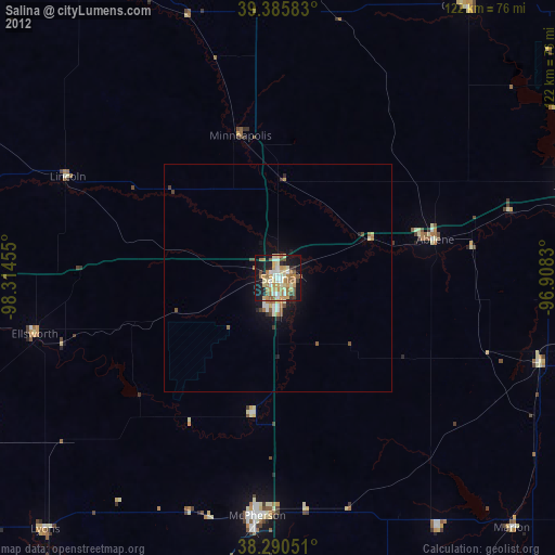
Salina night lights from space
Night Light of Salina (Kansas) from space (United States) Src. Average luminocity for 10x10km area is 54.1463% and for 50x50km: 3.698%.
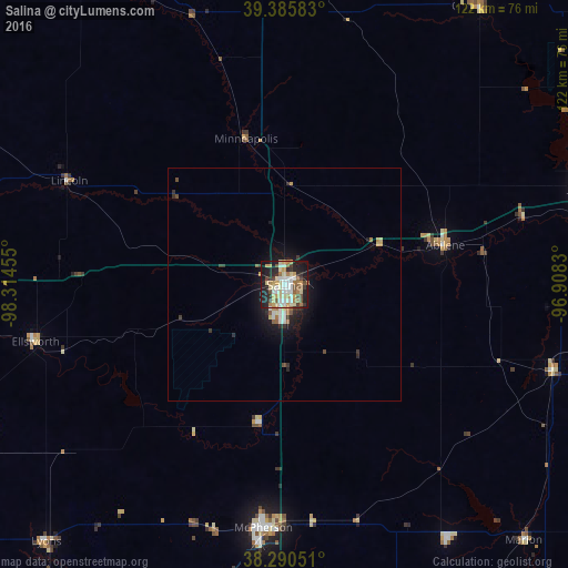
Analysis of Salina night lights 2016
Square area 10x10 km:
 8.67%
8.67%90-99
12.24%80-89
11.05%70-79
7.31%60-69
8.16%50-59
4.76%40-49
4.76%30-39
5.78%20-29
14.97%10-19
21.43%0-9
0.85%Square area 50x50 km:
0.48%90-99
0.64%80-89
0.6%70-79
0.43%60-69
0.5%50-59
0.33%40-49
0.34%30-39
0.58%20-29
0.95%10-19
2.95%0-9
92.21%Clear (daylight) street map image can be seen on geolist.org.
Map coordinates:
39° 23' 9" North, 98° 18' 52.4" West
38° 50' 25" North, 97° 36' 41.1" West
38° 17' 25.8" North, 96° 54' 29.9" West
Some cities around Salina sort by population:
• Manhattan
97.6 km =60.6 mi,  66°
66°
• Hutchinson
91 km =56.5 mi,  197°
197°
• Junction City
70.6 km =43.9 mi, 72°
• Newton
91.2 km =56.7 mi,  165°
165°
• McPherson
52.4 km =32.6 mi,  185°
185°
• Fort Riley North
75.2 km =46.7 mi, 66°
• Abilene
35.5 km =22.1 mi,  76°
76°
• Concordia
81.3 km =50.5 mi,  356°
356°
4278890 (p: 47,813)
Sources (retrieved 2019-11-25):
» Earth at Night: Flat Maps 2012, 2016