Manhattan night lights from space
Night Light of Manhattan (Kansas) from space (United States) Src. Average luminocity for 10x10km area is 44.8442% and for 50x50km: 6.9542%.
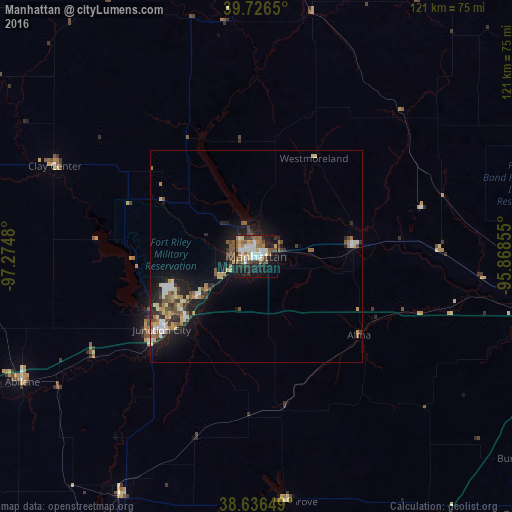
Analysis of Manhattan night lights 2016
Square area 10x10 km:
 9.9%
9.9%90-99
7.14%80-89
5.36%70-79
4.71%60-69
6.98%50-59
6.98%40-49
5.52%30-39
6.33%20-29
9.25%10-19
29.55%0-9
8.28%Square area 50x50 km:
0.89%90-99
0.87%80-89
1.04%70-79
0.72%60-69
0.92%50-59
1.1%40-49
1.04%30-39
1.04%20-29
1.75%10-19
5.74%0-9
84.89%Clear (daylight) street map image can be seen on geolist.org.
Map coordinates:
39° 43' 35.4" North, 97° 16' 29.3" West
39° 11' 1" North, 96° 34' 18" West
38° 38' 11.4" North, 95° 52' 6.8" West
Some cities around Manhattan sort by population:
• Topeka
78.5 km =48.8 mi,  101°
101°
• Lawrence
117.7 km =73.1 mi, 101°
• Salina
97.6 km =60.6 mi,  246°
246°
• Emporia
93.1 km =57.8 mi,  158°
158°
• Junction City
28.3 km =17.6 mi,  232°
232°
• Fort Riley North
22.4 km =13.9 mi, 248°
• Abilene
62.9 km =39.1 mi,  241°
241°
• Concordia
103.2 km =64.1 mi,  294°
294°
4274994 (p: 56,308)
Sources (retrieved 2019-11-25):
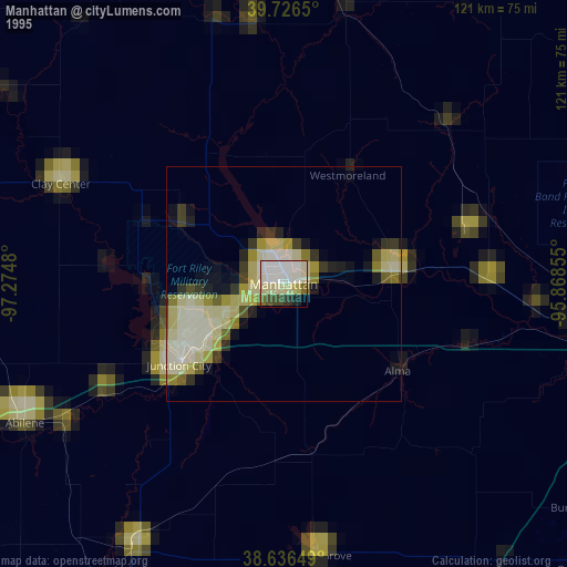
» NASA, Earths city lights 1995
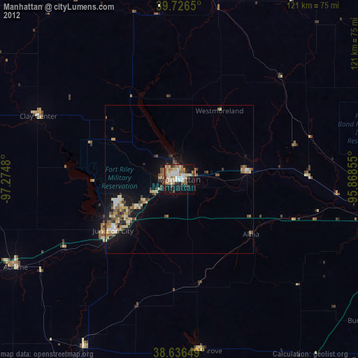
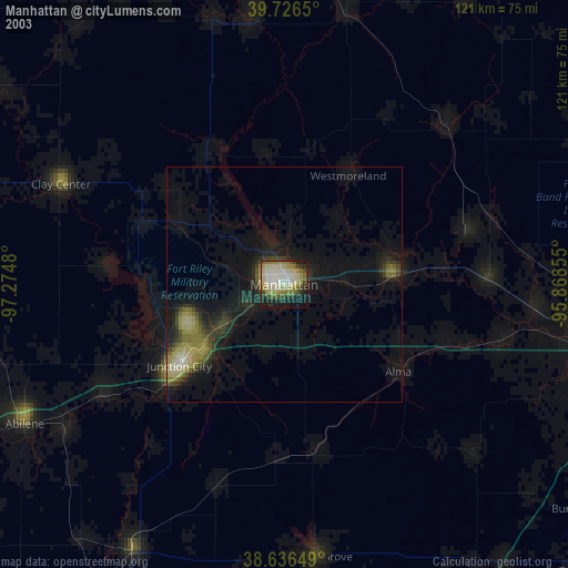
» NASA city lights 2003
» Earth at Night: Flat Maps 2012, 2016