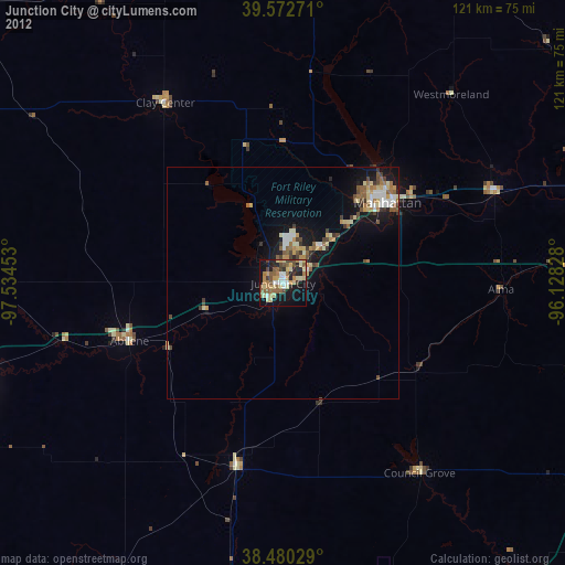
Junction City night lights from space
Night Light of Junction City (Kansas) from space (United States) Src. Average luminocity for 10x10km area is 44.2273% and for 50x50km: 6.7776%.
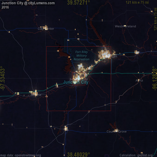
Analysis of Junction City night lights 2016
Square area 10x10 km:
 5.84%
5.84%90-99
5.19%80-89
8.12%70-79
7.14%60-69
6.33%50-59
8.12%40-49
7.47%30-39
6.01%20-29
13.96%10-19
25.49%0-9
6.33%Square area 50x50 km:
0.87%90-99
0.85%80-89
0.96%70-79
0.76%60-69
0.87%50-59
1.1%40-49
1.01%30-39
1.07%20-29
1.73%10-19
5.82%0-9
84.97%Clear (daylight) street map image can be seen on geolist.org.
Map coordinates:
39° 34' 21.8" North, 97° 32' 4.3" West
39° 1' 43" North, 96° 49' 53" West
38° 28' 49" North, 96° 7' 41.8" West
Some cities around Junction City sort by population:
• Topeka
99.6 km =61.9 mi,  88°
88°
• Manhattan
28.3 km =17.6 mi,  52°
52°
• Salina
70.6 km =43.9 mi,  252°
252°
• Emporia
89.5 km =55.6 mi,  140°
140°
• McPherson
102.8 km =63.9 mi,  224°
224°
• Fort Riley North
9.3 km =5.8 mi,  9°
9°
• Abilene
35.3 km =21.9 mi, 249°
• Concordia
93.5 km =58.1 mi,  310°
310°
4273680 (p: 24,621)
Sources (retrieved 2019-11-25):
» Earth at Night: Flat Maps 2012, 2016