McPherson night lights from space
Night Light of McPherson (Kansas) from space (United States) Src. Average luminocity for 10x10km area is 40.3146% and for 50x50km: 3.1013%.
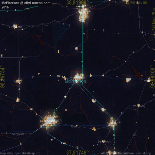
Analysis of McPherson night lights 2016
Square area 10x10 km:
 8.84%
8.84%90-99
6.97%80-89
6.12%70-79
3.4%60-69
4.42%50-59
6.46%40-49
3.23%30-39
4.42%20-29
5.44%10-19
38.95%0-9
11.73%Square area 50x50 km:
0.4%90-99
0.45%80-89
0.51%70-79
0.35%60-69
0.31%50-59
0.43%40-49
0.35%30-39
0.55%20-29
0.29%10-19
2.13%0-9
94.25%Clear (daylight) street map image can be seen on geolist.org.
Map coordinates:
38° 55' 12" North, 98° 22' 2.4" West
38° 22' 15" North, 97° 39' 51.2" West
37° 49' 3" North, 96° 57' 39.9" West
Some cities around McPherson sort by population:
• Wichita
80.7 km =50.1 mi,  159°
159°
• Salina
52.4 km =32.6 mi,  5°
5°
• Hutchinson
41.5 km =25.8 mi,  213°
213°
• Newton
45.6 km =28.3 mi,  142°
142°
• Andover
86.4 km =53.7 mi,  147°
147°
• Park City
70.3 km =43.7 mi, 154°
• Valley Center
64.8 km =40.3 mi, 156°
• Abilene
72.2 km =44.9 mi,  32°
32°
4275261 (p: 13,144)
Sources (retrieved 2019-11-25):
» Earth at Night: Flat Maps 2012, 2016