Hutchinson night lights from space
Night Light of Hutchinson (Kansas) from space (United States) Src. Average luminocity for 10x10km area is 63.4237% and for 50x50km: 4.733%.
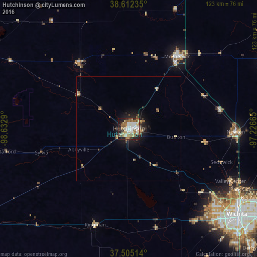
Analysis of Hutchinson night lights 2016
Square area 10x10 km:
 13.64%
90-99
15.1%80-89
9.42%70-79
8.44%60-69
10.88%50-59
12.5%40-49
2.11%30-39
5.03%20-29
12.66%10-19
9.74%0-9
0.49%Square area 50x50 km:
0.6%90-99
0.73%80-89
0.63%70-79
0.66%60-69
0.6%50-59
0.87%40-49
0.44%30-39
0.72%20-29
1.36%10-19
2.85%0-9
90.54%Clear (daylight) street map image can be seen on geolist.org.
Map coordinates:
38° 36' 44.5" North, 98° 37' 58.4" West
38° 3' 39" North, 97° 55' 47.2" West
37° 30' 18.5" North, 97° 13' 35.9" West
Some cities around Hutchinson sort by population:
• Wichita
66.2 km =41.1 mi,  128°
128°
• Newton
51.2 km =31.8 mi,  91°
91°
• Great Bend
80.4 km =50 mi,  294°
294°
• McPherson
41.5 km =25.8 mi,  33°
33°
• Andover
79.6 km =49.5 mi,  118°
118°
• Haysville
75 km =46.6 mi,  137°
137°
• Park City
61 km =37.9 mi, 118°
• Valley Center
54.9 km =34.1 mi, 117°
4273299 (p: 41,569)
Sources (retrieved 2019-11-25):
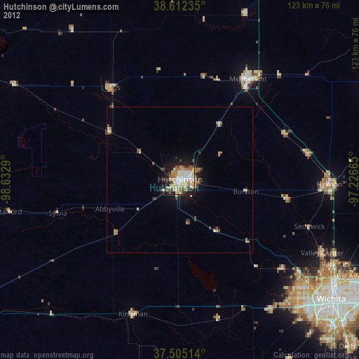
» Earth at Night: Flat Maps 2012, 2016