Concordia night lights from space
Night Light of Concordia (Kansas) from space (United States) Src. Average luminocity for 10x10km area is 12.2321% and for 50x50km: 0.7406%.
Analysis of Concordia night lights 2016
Square area 10x10 km:
 1.14%
1.14%90-99
2.27%80-89
1.79%70-79
1.95%60-69
1.95%50-59
1.14%40-49
1.46%30-39
0.81%20-29
1.14%10-19
0.65%0-9
85.71%Square area 50x50 km:
0.05%90-99
0.09%80-89
0.14%70-79
0.09%60-69
0.13%50-59
0.07%40-49
0.14%30-39
0.09%20-29
0.1%10-19
0.11%0-9
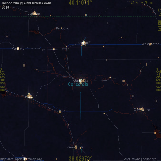
98.99%Clear (daylight) street map image can be seen on geolist.org.
Map coordinates:
40° 6' 38.6" North, 98° 21' 56.4" West
39° 34' 15" North, 97° 39' 45.1" West
39° 1' 36.2" North, 96° 57' 33.9" West
Some cities around Concordia sort by population:
• Manhattan
103.2 km =64.1 mi,  114°
114°
• Salina
81.3 km =50.5 mi,  176°
176°
• Hastings
128.7 km =80 mi,  331°
331°
• Junction City
93.5 km =58.1 mi,  130°
130°
• Beatrice
110 km =68.4 mi,  45°
45°
• Fort Riley North
89.1 km =55.4 mi, 125°
• Crete
131.8 km =81.9 mi,  26°
26°
• Abilene
82.3 km =51.1 mi,  152°
152°
4269872 (p: 5,218)
Sources (retrieved 2019-11-25):
» Earth at Night: Flat Maps 2012, 2016