Stony Brook night lights from space
Night Light of Stony Brook (New York) from space (United States) Src. Average luminocity for 10x10km area is 46.8759% and for 50x50km: 39.8562%.
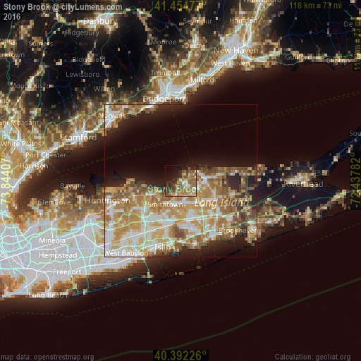
Analysis of Stony Brook night lights 2016
Square area 10x10 km:
 3.23%
3.23%90-99
3.91%80-89
6.63%70-79
8.33%60-69
13.44%50-59
13.61%40-49
9.01%30-39
8.16%20-29
10.03%10-19
14.8%0-9
8.84%Square area 50x50 km:
6.41%90-99
7.8%80-89
6.04%70-79
8.79%60-69
7.85%50-59
6.35%40-49
4%30-39
2.36%20-29
5.43%10-19
9.11%0-9
35.86%Clear (daylight) street map image can be seen on geolist.org.
Map coordinates:
41° 27' 17.2" North, 73° 50' 38.7" West
40° 55' 32.3" North, 73° 8' 27.4" West
40° 23' 32.1" North, 72° 26' 16.2" West
Some cities around Stony Brook sort by population:
• Centereach
8.2 km =5.1 mi,  155°
155°
• East Setauket
3.4 km =2.1 mi,  59°
59°
• Setauket-East Setauket
3.3 km =2.1 mi,  80°
80°
• Nesconset
8.3 km =5.2 mi,  187°
187°
• Saint James
5.4 km =3.4 mi, 194°
• Terryville
6.6 km =4.1 mi,  106°
106°
• Port Jefferson
6.5 km =4 mi,  68°
68°
• Port Jefferson Station
7.9 km =4.9 mi,  90°
90°
5139865 (p: 13,740)
Sources (retrieved 2019-11-25):
» Earth at Night: Flat Maps 2012, 2016