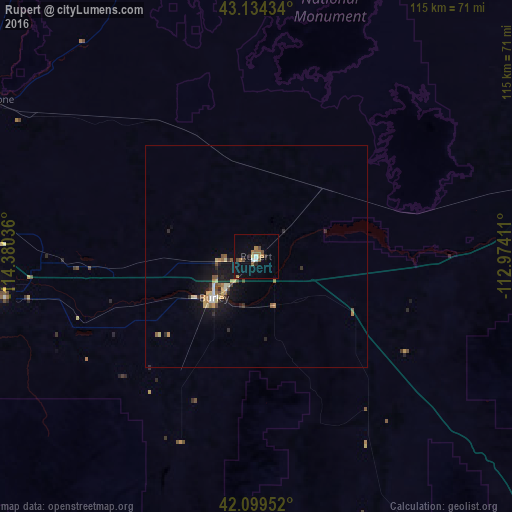
Rupert night lights from space
Night Light of Rupert (Idaho) from space (United States) Src. Average luminocity for 10x10km area is 11.2561% and for 50x50km: 2.2418%.
Analysis of Rupert night lights 2016
Square area 10x10 km:
 0.61%
0.61%90-99
1.21%80-89
0.45%70-79
1.52%60-69
3.33%50-59
1.82%40-49
1.97%30-39
0%20-29
1.82%10-19
2.58%0-9
84.7%Square area 50x50 km:
0.1%90-99
0.27%80-89
0.36%70-79
0.3%60-69
0.34%50-59
0.36%40-49
0.29%30-39
0.17%20-29
0.49%10-19
1.99%0-9
95.33%Clear (daylight) street map image can be seen on geolist.org.
Map coordinates:
43° 8' 3.6" North, 114° 22' 49.3" West
42° 37' 8.7" North, 113° 40' 38" West
42° 5' 58.3" North, 112° 58' 26.8" West
Some cities around Rupert sort by population:
• Pocatello
104.4 km =64.9 mi,  74°
74°
• Twin Falls
64.4 km =40 mi,  264°
264°
• Chubbuck
104.4 km =64.9 mi, 71°
• Blackfoot
125.7 km =78.1 mi,  59°
59°
• Jerome
69.8 km =43.4 mi,  279°
279°
• Burley
13.2 km =8.2 mi,  225°
225°
• Hailey
112.7 km =70 mi,  332°
332°
• Preston
158.9 km =98.7 mi,  111°
111°
5606000 (p: 5,705)
Sources (retrieved 2019-11-25):
» Earth at Night: Flat Maps 2012, 2016