Hailey night lights from space
Night Light of Hailey (Idaho) from space (United States) Src. Average luminocity for 10x10km area is 5.5476% and for 50x50km: 0.3799%.
Analysis of Hailey night lights 2016
Square area 10x10 km:
 0%
0%90-99
0%80-89
1.9%70-79
0%60-69
0.95%50-59
2.22%40-49
0.95%30-39
1.27%20-29
1.27%10-19
0%0-9
91.43%Square area 50x50 km:
0%90-99
0%80-89
0.1%70-79
0.02%60-69
0.08%50-59
0.13%40-49
0.11%30-39
0.07%20-29
0.1%10-19
0.05%0-9
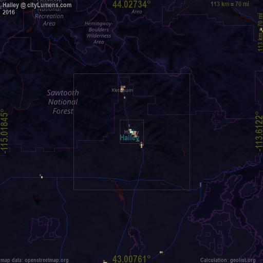
99.34%Clear (daylight) street map image can be seen on geolist.org.
Map coordinates:
44° 1' 38.4" North, 115° 1' 6.4" West
43° 31' 10.7" North, 114° 18' 55.2" West
43° 0' 27.4" North, 113° 36' 43.9" West
Some cities around Hailey sort by population:
• Boise
152.5 km =94.8 mi,  273°
273°
• Twin Falls
107 km =66.5 mi,  186°
186°
• Mountain Home
119.3 km =74.1 mi,  248°
248°
• Blackfoot
163.4 km =101.5 mi,  102°
102°
• Garden City
155.3 km =96.5 mi, 274°
• Jerome
90 km =55.9 mi, 190°
• Burley
117.4 km =72.9 mi,  158°
158°
• Rupert
112.7 km =70 mi,  152°
152°
5594956 (p: 8,134)
Sources (retrieved 2019-11-25):
» Earth at Night: Flat Maps 2012, 2016