Chubbuck night lights from space
Night Light of Chubbuck (Idaho) from space (United States) Src. Average luminocity for 10x10km area is 43.8889% and for 50x50km: 3.6349%.
Analysis of Chubbuck night lights 2016
Square area 10x10 km:
 7.3%
7.3%90-99
6.98%80-89
8.57%70-79
5.08%60-69
4.6%50-59
11.75%40-49
2.54%30-39
2.7%20-29
12.22%10-19
27.94%0-9
10.32%Square area 50x50 km:
0.44%90-99
0.49%80-89
0.66%70-79
0.34%60-69
0.4%50-59
0.71%40-49
0.38%30-39
0.39%20-29
1.07%10-19
2.74%0-9
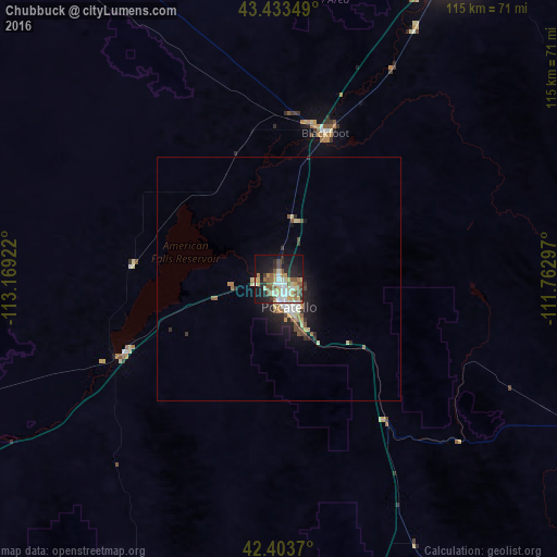
92.37%Clear (daylight) street map image can be seen on geolist.org.
Map coordinates:
43° 26' 0.6" North, 113° 10' 9.2" West
42° 55' 14.7" North, 112° 27' 57.9" West
42° 24' 13.3" North, 111° 45' 46.7" West
Some cities around Chubbuck sort by population:
• Idaho Falls
70.1 km =43.6 mi,  29°
29°
• Pocatello
5.7 km =3.5 mi,  163°
163°
• Rexburg
114.5 km =71.1 mi, 28°
• Ammon
73.2 km =45.5 mi, 33°
• Blackfoot
31.6 km =19.6 mi,  18°
18°
• Burley
116.5 km =72.4 mi,  248°
248°
• Rupert
104.4 km =64.9 mi, 251°
• Preston
103.6 km =64.4 mi,  152°
152°
5588842 (p: 14,428)
Sources (retrieved 2019-11-25):
» Earth at Night: Flat Maps 2012, 2016