Pocatello night lights from space
Night Light of Pocatello (Idaho) from space (United States) Src. Average luminocity for 10x10km area is 50.8429% and for 50x50km: 3.6928%.
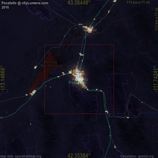
Analysis of Pocatello night lights 2016
Square area 10x10 km:
 9.68%
9.68%90-99
11.11%80-89
9.68%70-79
5.24%60-69
4.13%50-59
9.05%40-49
4.6%30-39
4.44%20-29
15.71%10-19
22.38%0-9
3.97%Square area 50x50 km:
0.44%90-99
0.49%80-89
0.71%70-79
0.35%60-69
0.4%50-59
0.73%40-49
0.4%30-39
0.39%20-29
1.06%10-19
2.74%0-9
92.28%Clear (daylight) street map image can be seen on geolist.org.
Map coordinates:
43° 23' 4.1" North, 113° 8' 55.2" West
42° 52' 16.7" North, 112° 26' 43.9" West
42° 21' 13.8" North, 111° 44' 32.7" West
Some cities around Pocatello sort by population:
• Idaho Falls
74.1 km =46 mi,  26°
26°
• Rexburg
118.7 km =73.8 mi, 26°
• Ammon
77 km =47.8 mi, 30°
• Chubbuck
5.7 km =3.5 mi,  343°
343°
• Blackfoot
36.4 km =22.6 mi,  12°
12°
• Burley
116.2 km =72.2 mi,  251°
251°
• Rupert
104.4 km =64.9 mi, 254°
• Preston
98 km =60.9 mi,  151°
151°
5604045 (p: 54,441)
Sources (retrieved 2019-11-25):
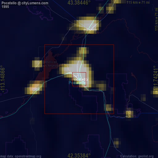
» NASA, Earths city lights 1995
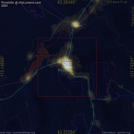
» NASA city lights 2003
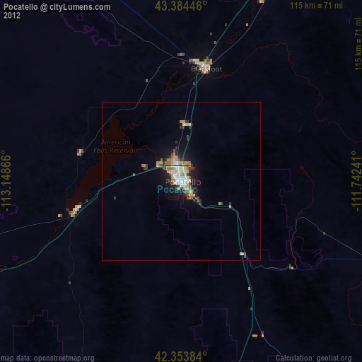
» Earth at Night: Flat Maps 2012, 2016