Blackfoot night lights from space
Night Light of Blackfoot (Idaho) from space (United States) Src. Average luminocity for 10x10km area is 17.9955% and for 50x50km: 1.3744%.
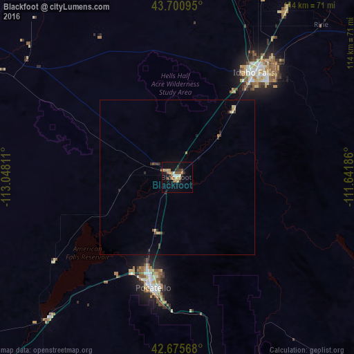
Analysis of Blackfoot night lights 2016
Square area 10x10 km:
 1.06%
1.06%90-99
1.36%80-89
1.97%70-79
4.24%60-69
3.48%50-59
4.24%40-49
0.3%30-39
3.64%20-29
2.58%10-19
8.94%0-9
68.18%Square area 50x50 km:
0.04%90-99
0.08%80-89
0.26%70-79
0.2%60-69
0.21%50-59
0.25%40-49
0.11%30-39
0.31%20-29
0.28%10-19
0.51%0-9
97.75%Clear (daylight) street map image can be seen on geolist.org.
Map coordinates:
43° 42' 3.4" North, 113° 2' 53.2" West
43° 11' 25.7" North, 112° 20' 41.9" West
42° 40' 32.4" North, 111° 38' 30.7" West
Some cities around Blackfoot sort by population:
• Idaho Falls
39.7 km =24.7 mi,  39°
39°
• Pocatello
36.4 km =22.6 mi,  192°
192°
• Rexburg
83.7 km =52 mi,  32°
32°
• Ammon
43.6 km =27.1 mi, 44°
• Chubbuck
31.6 km =19.6 mi,  198°
198°
• Jackson
132 km =82 mi,  75°
75°
• Rupert
125.7 km =78.1 mi,  239°
239°
• Preston
127.5 km =79.2 mi,  162°
162°
5586093 (p: 11,740)
Sources (retrieved 2019-11-25):
» Earth at Night: Flat Maps 2012, 2016