Twin Falls night lights from space
Night Light of Twin Falls (Idaho) from space (United States) Src. Average luminocity for 10x10km area is 50.1413% and for 50x50km: 4.8569%.
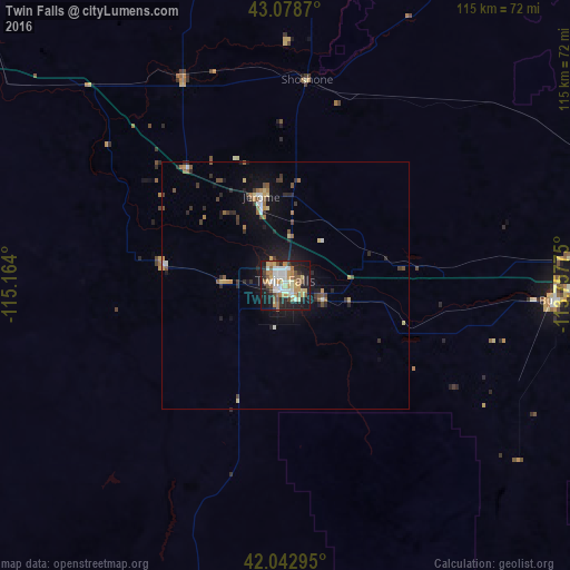
Analysis of Twin Falls night lights 2016
Square area 10x10 km:
 9.05%
9.05%90-99
10.63%80-89
6.51%70-79
9.05%60-69
6.98%50-59
7.46%40-49
4.29%30-39
1.75%20-29
13.02%10-19
29.05%0-9
2.22%Square area 50x50 km:
0.48%90-99
0.63%80-89
0.54%70-79
0.63%60-69
0.65%50-59
0.74%40-49
0.62%30-39
0.61%20-29
1.41%10-19
3.95%0-9
89.74%Clear (daylight) street map image can be seen on geolist.org.
Map coordinates:
43° 4' 43.3" North, 115° 9' 50.4" West
42° 33' 46.7" North, 114° 27' 39.1" West
42° 2' 34.6" North, 113° 45' 27.9" West
Some cities around Twin Falls sort by population:
• Boise
183.5 km =114 mi,  309°
309°
• Pocatello
168.2 km =104.5 mi,  78°
78°
• Chubbuck
167.7 km =104.2 mi, 76°
• Mountain Home
118.6 km =73.7 mi,  302°
302°
• Jerome
18.5 km =11.5 mi,  345°
345°
• Burley
54.8 km =34.1 mi,  93°
93°
• Hailey
107 km =66.5 mi,  6°
6°
• Rupert
64.4 km =40 mi, 84°
5610810 (p: 47,468)
Sources (retrieved 2019-11-25):
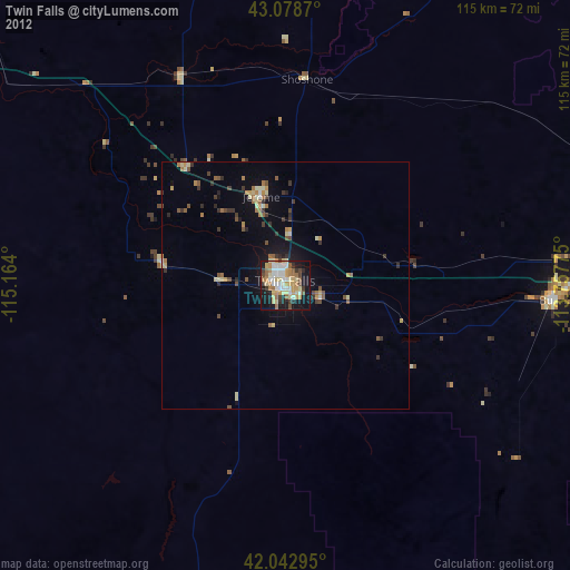
» Earth at Night: Flat Maps 2012, 2016