Alliance night lights from space
Night Light of Alliance (Nebraska) from space (United States) Src. Average luminocity for 10x10km area is 22.5197% and for 50x50km: 1.0878%.
Analysis of Alliance night lights 2016
Square area 10x10 km:
 6.21%
6.21%90-99
4.09%80-89
2.12%70-79
2.12%60-69
1.06%50-59
0.15%40-49
2.42%30-39
2.58%20-29
1.06%10-19
26.21%0-9
51.97%Square area 50x50 km:
0.26%90-99
0.17%80-89
0.15%70-79
0.09%60-69
0.04%50-59
0.03%40-49
0.1%30-39
0.12%20-29
0.04%10-19
1.1%0-9
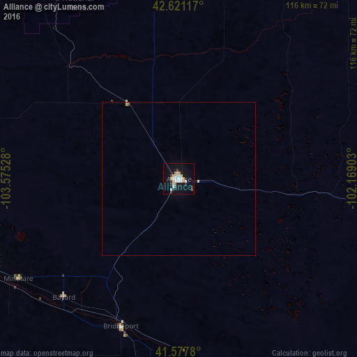
97.89%Clear (daylight) street map image can be seen on geolist.org.
Map coordinates:
42° 37' 16.2" North, 103° 34' 31" West
42° 6' 5.9" North, 102° 52' 19.7" West
41° 34' 40.1" North, 102° 10' 8.5" West
Some cities around Alliance sort by population:
• Cheyenne
194 km =120.5 mi,  236°
236°
• Scottsbluff
70.7 km =43.9 mi,  248°
248°
• Sterling
166.5 km =103.5 mi,  189°
189°
• Gering
72 km =44.7 mi, 244°
• Sidney
107 km =66.5 mi,  184°
184°
• Torrington
108.4 km =67.4 mi,  267°
267°
• Ranchettes
187.2 km =116.3 mi, 238°
• Chadron
81.6 km =50.7 mi,  352°
352°
5693164 (p: 8,522)
Sources (retrieved 2019-11-25):
» Earth at Night: Flat Maps 2012, 2016