Prairie du Chien night lights from space
Night Light of Prairie du Chien (Wisconsin) from space (United States) Src. Average luminocity for 10x10km area is 18.4667% and for 50x50km: 1.3072%.
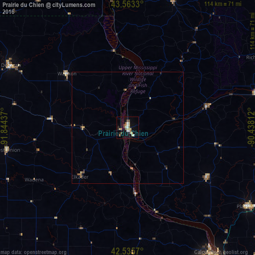
Analysis of Prairie du Chien night lights 2016
Square area 10x10 km:
 1.43%
1.43%90-99
3.02%80-89
5.08%70-79
1.27%60-69
2.22%50-59
2.22%40-49
2.54%30-39
0.32%20-29
2.22%10-19
11.75%0-9
67.94%Square area 50x50 km:
0.06%90-99
0.12%80-89
0.27%70-79
0.2%60-69
0.21%50-59
0.2%40-49
0.24%30-39
0.09%20-29
0.29%10-19
0.57%0-9
97.76%Clear (daylight) street map image can be seen on geolist.org.
Map coordinates:
43° 33' 47.9" North, 91° 50' 39.7" West
43° 3' 5.9" North, 91° 8' 28.5" West
42° 32' 8.5" North, 90° 26' 17.2" West
Some cities around Prairie du Chien sort by population:
• Dubuque
72.6 km =45.1 mi,  147°
147°
• La Crosse
83.7 km =52 mi,  354°
354°
• Platteville
64.5 km =40.1 mi,  123°
123°
• Decorah
59.3 km =36.8 mi,  298°
298°
• Oelwein
75.7 km =47 mi,  236°
236°
• Asbury
67.7 km =42.1 mi, 151°
• Manchester
68.1 km =42.3 mi,  202°
202°
• Richland Center
68.8 km =42.8 mi,  62°
62°
5268002 (p: 5,757)
Sources (retrieved 2019-11-25):
» Earth at Night: Flat Maps 2012, 2016