La Crosse night lights from space
Night Light of La Crosse (Wisconsin) from space (United States) Src. Average luminocity for 10x10km area is 43.4394% and for 50x50km: 5.2817%.
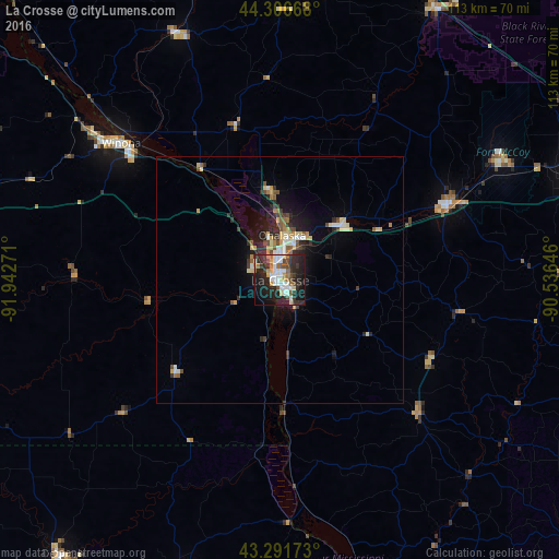
Analysis of La Crosse night lights 2016
Square area 10x10 km:
 8.64%
8.64%90-99
9.55%80-89
3.79%70-79
3.79%60-69
5.61%50-59
2.73%40-49
6.06%30-39
6.67%20-29
22.58%10-19
25%0-9
5.61%Square area 50x50 km:
0.6%90-99
0.8%80-89
0.92%70-79
0.52%60-69
0.58%50-59
0.56%40-49
0.77%30-39
0.74%20-29
1.99%10-19
3.17%0-9
89.35%Clear (daylight) street map image can be seen on geolist.org.
Map coordinates:
44° 18' 24" North, 91° 56' 33.8" West
43° 48' 4.9" North, 91° 14' 22.5" West
43° 17' 30.2" North, 90° 32' 11.3" West
Some cities around La Crosse sort by population:
• North La Crosse
5 km =3.1 mi,  352°
352°
• Winona
42.3 km =26.3 mi,  310°
310°
• Onalaska
9.2 km =5.7 mi,  2°
2°
• Sparta
37.7 km =23.4 mi,  65°
65°
• Holmen
18.1 km =11.2 mi,  355°
355°
• Tomah
62.1 km =38.6 mi, 71°
• Decorah
70.7 km =43.9 mi,  218°
218°
• West Salem
16.7 km =10.4 mi,  49°
49°
5258957 (p: 52,306)
Sources (retrieved 2019-11-25):
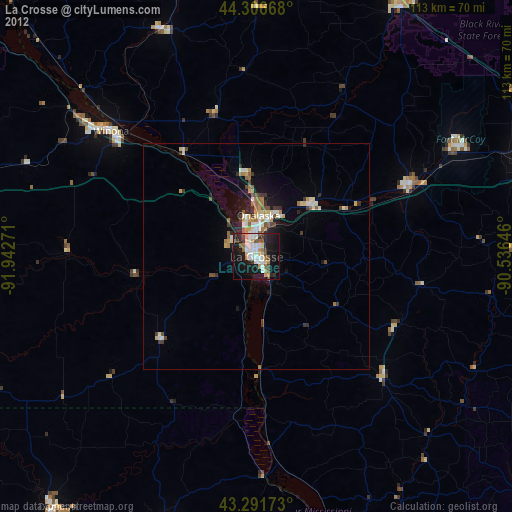
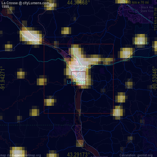
» NASA, Earths city lights 1995
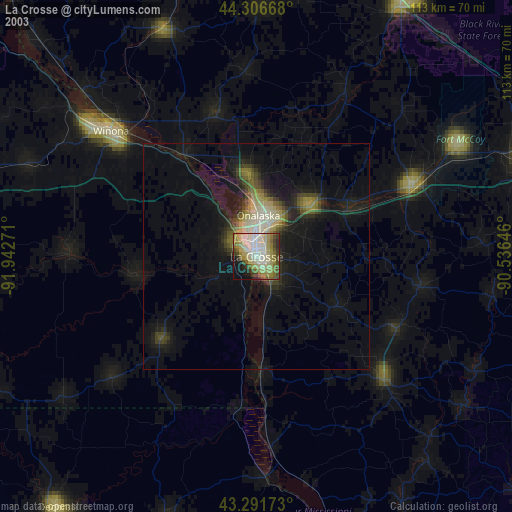
» NASA city lights 2003
» Earth at Night: Flat Maps 2012, 2016