Dubuque night lights from space
Night Light of Dubuque (Iowa) from space (United States) Src. Average luminocity for 10x10km area is 55.6222% and for 50x50km: 5.6152%.
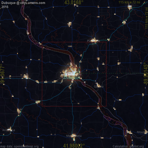
Analysis of Dubuque night lights 2016
Square area 10x10 km:
 10.16%
90-99
11.11%80-89
7.94%70-79
6.03%60-69
9.68%50-59
9.37%40-49
8.89%30-39
7.3%20-29
15.4%10-19
12.7%0-9
1.43%Square area 50x50 km:
0.61%90-99
0.62%80-89
1.05%70-79
0.49%60-69
0.73%50-59
0.82%40-49
0.97%30-39
0.86%20-29
1.97%10-19
3.3%0-9
88.58%Clear (daylight) street map image can be seen on geolist.org.
Map coordinates:
43° 1' 0.5" North, 91° 22' 3.7" West
42° 30' 2" North, 90° 39' 52.5" West
41° 58' 48.1" North, 89° 57' 41.2" West
Some cities around Dubuque sort by population:
• Clinton
82.8 km =51.4 mi,  151°
151°
• Platteville
30.1 km =18.7 mi,  30°
30°
• Maquoketa
48 km =29.8 mi,  180°
180°
• Prairie du Chien
72.6 km =45.1 mi,  327°
327°
• Anamosa
67.1 km =41.7 mi,  229°
229°
• Asbury
7.3 km =4.5 mi,  282°
282°
• De Witt
76 km =47.2 mi,  172°
172°
• Manchester
64.9 km =40.3 mi,  268°
268°
4854529 (p: 58,799)
Sources (retrieved 2019-11-25):
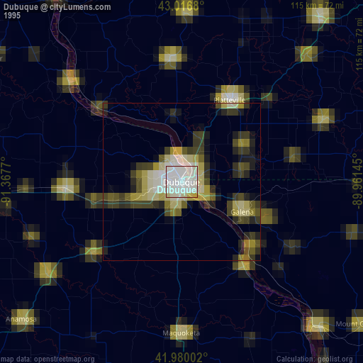
» NASA, Earths city lights 1995
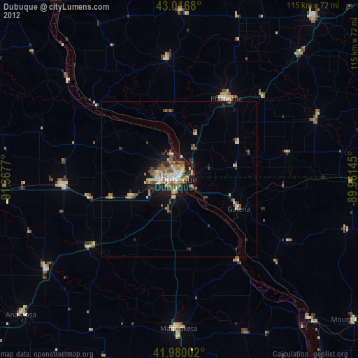
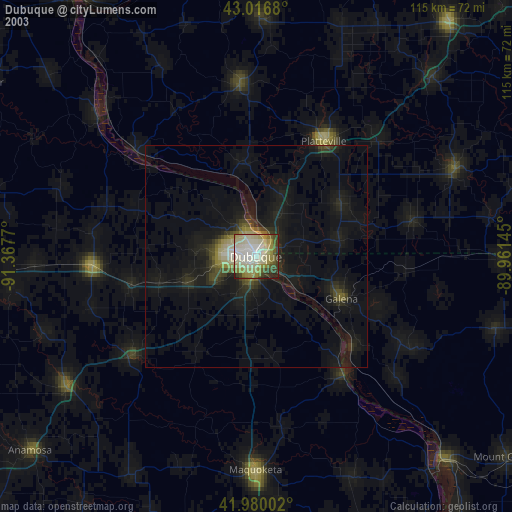
» NASA city lights 2003
» Earth at Night: Flat Maps 2012, 2016