Decorah night lights from space
Night Light of Decorah (Iowa) from space (United States) Src. Average luminocity for 10x10km area is 15.8652% and for 50x50km: 1.3003%.
Analysis of Decorah night lights 2016
Square area 10x10 km:
 1.36%
1.36%90-99
1.67%80-89
2.42%70-79
2.42%60-69
1.52%50-59
2.73%40-49
3.64%30-39
1.97%20-29
2.27%10-19
3.64%0-9
76.36%Square area 50x50 km:
0.1%90-99
0.11%80-89
0.28%70-79
0.14%60-69
0.2%50-59
0.23%40-49
0.21%30-39
0.19%20-29
0.24%10-19
0.23%0-9
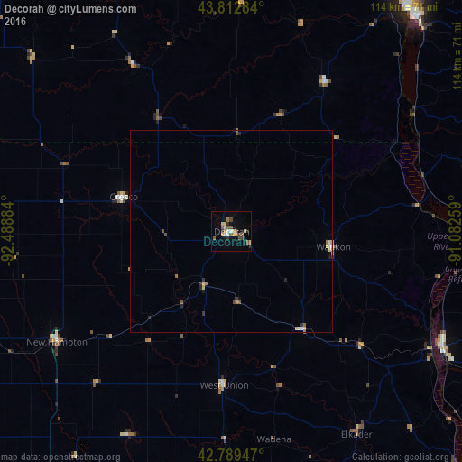
98.07%Clear (daylight) street map image can be seen on geolist.org.
Map coordinates:
43° 48' 46.2" North, 92° 29' 19.8" West
43° 18' 11.9" North, 91° 47' 8.6" West
42° 47' 22.1" North, 91° 4' 57.3" West
Some cities around Decorah sort by population:
• La Crosse
70.7 km =43.9 mi,  38°
38°
• North La Crosse
74.3 km =46.2 mi, 35°
• Winona
83.9 km =52.1 mi,  8°
8°
• Onalaska
78.4 km =48.7 mi,  34°
34°
• Charles City
76.6 km =47.6 mi,  249°
249°
• Oelwein
70.8 km =44 mi,  188°
188°
• Stewartville
83.5 km =51.9 mi,  317°
317°
• Prairie du Chien
59.3 km =36.8 mi,  118°
118°
4853608 (p: 7,907)
Sources (retrieved 2019-11-25):
» Earth at Night: Flat Maps 2012, 2016