Richland Center night lights from space
Night Light of Richland Center (Wisconsin) from space (United States) Src. Average luminocity for 10x10km area is 11.6794% and for 50x50km: 0.9074%.
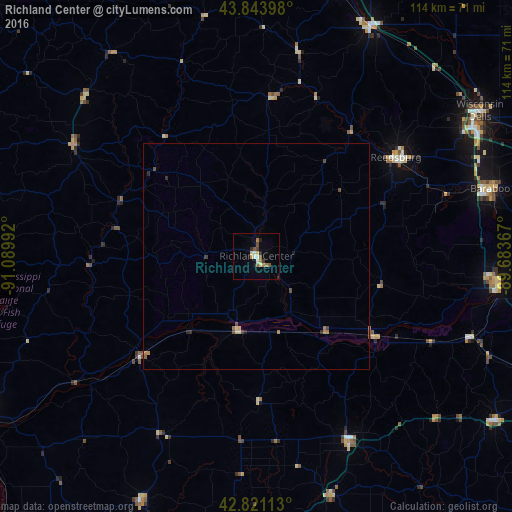
Analysis of Richland Center night lights 2016
Square area 10x10 km:
 0.79%
0.79%90-99
2.06%80-89
1.43%70-79
1.59%60-69
2.38%50-59
1.9%40-49
0.63%30-39
1.9%20-29
1.43%10-19
0.79%0-9
85.08%Square area 50x50 km:
0.03%90-99
0.08%80-89
0.13%70-79
0.12%60-69
0.24%50-59
0.11%40-49
0.21%30-39
0.15%20-29
0.18%10-19
0.07%0-9
98.68%Clear (daylight) street map image can be seen on geolist.org.
Map coordinates:
43° 50' 38.3" North, 91° 5' 23.7" West
43° 20' 5" North, 90° 23' 12.4" West
42° 49' 16.1" North, 89° 41' 1.2" West
Some cities around Richland Center sort by population:
• Middleton
76.2 km =47.3 mi,  110°
110°
• Platteville
67.2 km =41.8 mi,  186°
186°
• Baraboo
54.1 km =33.6 mi,  73°
73°
• Sparta
75.9 km =47.2 mi,  333°
333°
• Reedsburg
38 km =23.6 mi,  54°
54°
• Tomah
72.2 km =44.9 mi,  352°
352°
• Mount Horeb
63.9 km =39.7 mi,  124°
124°
• Prairie du Chien
68.8 km =42.8 mi,  242°
242°
5268850 (p: 5,013)
Sources (retrieved 2019-11-25):
» Earth at Night: Flat Maps 2012, 2016