Oelwein night lights from space
Night Light of Oelwein (Iowa) from space (United States) Src. Average luminocity for 10x10km area is 9.3864% and for 50x50km: 1.848%.
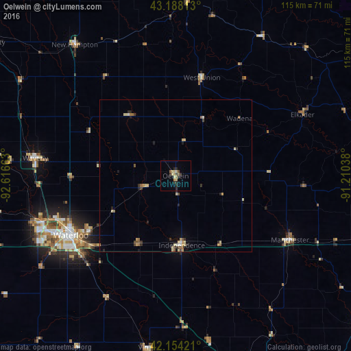
Analysis of Oelwein night lights 2016
Square area 10x10 km:
 0%
0%90-99
0%80-89
3.33%70-79
1.06%60-69
1.67%50-59
0.61%40-49
1.21%30-39
1.97%20-29
3.79%10-19
0%0-9
86.36%Square area 50x50 km:
0.06%90-99
0.09%80-89
0.6%70-79
0.26%60-69
0.19%50-59
0.29%40-49
0.21%30-39
0.29%20-29
0.57%10-19
0.28%0-9
97.15%Clear (daylight) street map image can be seen on geolist.org.
Map coordinates:
43° 11' 17.3" North, 92° 36' 59.9" West
42° 40' 24" North, 91° 54' 48.6" West
42° 9' 15.2" North, 91° 12' 37.4" West
Some cities around Oelwein sort by population:
• Waterloo
40.5 km =25.2 mi,  240°
240°
• Cedar Falls
46.5 km =28.9 mi,  249°
249°
• Waverly
46.3 km =28.8 mi,  277°
277°
• Decorah
70.8 km =44 mi,  8°
8°
• Hiawatha
73.4 km =45.6 mi,  164°
164°
• Independence
22.8 km =14.2 mi,  175°
175°
• Vinton
56.8 km =35.3 mi,  189°
189°
• Manchester
43 km =26.7 mi,  119°
119°
4869760 (p: 6,153)
Sources (retrieved 2019-11-25):
» Earth at Night: Flat Maps 2012, 2016