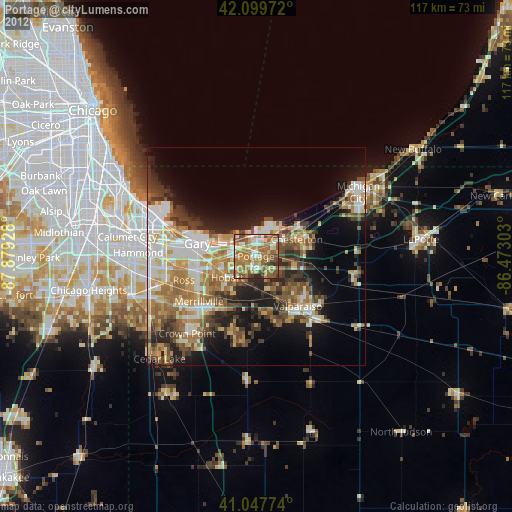
Portage night lights from space
Night Light of Portage (Indiana) from space (United States) Src. Average luminocity for 10x10km area is 62.2045% and for 50x50km: 29.7576%.
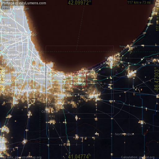
Analysis of Portage night lights 2016
Square area 10x10 km:
 4.87%
4.87%90-99
7.14%80-89
9.42%70-79
9.9%60-69
19.81%50-59
22.24%40-49
15.58%30-39
6.66%20-29
4.38%10-19
0%0-9
0%Square area 50x50 km:
4.46%90-99
4.97%80-89
3.89%70-79
4.11%60-69
5.66%50-59
5.26%40-49
4.33%30-39
4.6%20-29
7.01%10-19
11.28%0-9
44.44%Clear (daylight) street map image can be seen on geolist.org.
Map coordinates:
42° 5' 59" North, 87° 52' 45.4" West
41° 34' 33.1" North, 87° 10' 34.1" West
41° 2' 51.9" North, 86° 28' 22.9" West
Some cities around Portage sort by population:
• Gary
14.3 km =8.9 mi,  277°
277°
• Merrillville
16.6 km =10.3 mi,  231°
231°
• Valparaiso
14.9 km =9.3 mi,  140°
140°
• Hobart
8.2 km =5.1 mi, 233°
• Chesterton
10.1 km =6.3 mi,  67°
67°
• Lake Station
5.2 km =3.2 mi,  268°
268°
• Lakes of the Four Seasons
18.7 km =11.6 mi,  189°
189°
• South Haven
5 km =3.1 mi, 139°
4925006 (p: 36,738)
Sources (retrieved 2019-11-25):
» Earth at Night: Flat Maps 2012, 2016