Valparaiso night lights from space
Night Light of Valparaiso (Indiana) from space (United States) Src. Average luminocity for 10x10km area is 54.0425% and for 50x50km: 20.1212%.
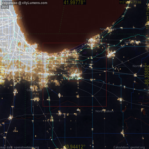
Analysis of Valparaiso night lights 2016
Square area 10x10 km:
 7.14%
7.14%90-99
9.52%80-89
6.12%70-79
6.29%60-69
7.65%50-59
13.44%40-49
14.97%30-39
14.29%20-29
11.39%10-19
9.01%0-9
0.17%Square area 50x50 km:
2.16%90-99
2.54%80-89
2.54%70-79
2.69%60-69
3.62%50-59
3.92%40-49
3.77%30-39
3.83%20-29
5.96%10-19
10.33%0-9
58.64%Clear (daylight) street map image can be seen on geolist.org.
Map coordinates:
41° 59' 52" North, 87° 45' 51.4" West
41° 28' 23.1" North, 87° 3' 40.1" West
40° 56' 38.8" North, 86° 21' 28.9" West
Some cities around Valparaiso sort by population:
• Portage
14.9 km =9.3 mi,  320°
320°
• Hobart
17.4 km =10.8 mi,  292°
292°
• Chesterton
15.3 km =9.5 mi,  359°
359°
• Lake Station
18.6 km =11.6 mi,  307°
307°
• Lakes of the Four Seasons
14.5 km =9 mi,  241°
241°
• Westville
15.4 km =9.6 mi,  60°
60°
• Winfield
19.4 km =12.1 mi,  247°
247°
• South Haven
9.9 km =6.2 mi, 320°
4927537 (p: 32,626)
Sources (retrieved 2019-11-25):
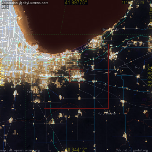
» Earth at Night: Flat Maps 2012, 2016