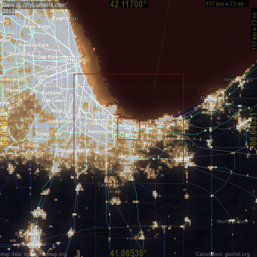
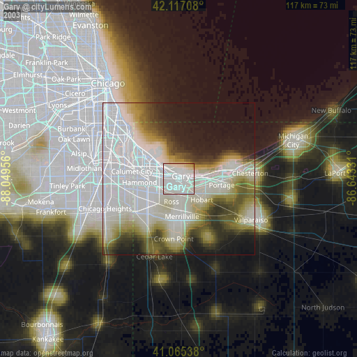
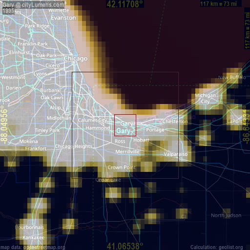
Gary night lights from space
Night Light of Gary (Indiana) from space (United States) Src. Average luminocity for 10x10km area is 82.9756% and for 50x50km: 46.246%.
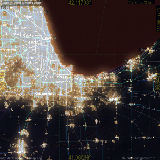
Analysis of Gary night lights 2016
Square area 10x10 km:
 28.9%
28.9%90-99
26.79%80-89
8.93%70-79
10.88%60-69
11.2%50-59
3.25%40-49
2.27%30-39
3.25%20-29
4.55%10-19
0%0-9
0%Square area 50x50 km:
13.76%90-99
9.41%80-89
5.03%70-79
5.77%60-69
6.65%50-59
5.81%40-49
4.87%30-39
5.09%20-29
6.98%10-19
9.14%0-9
27.49%Clear (daylight) street map image can be seen on geolist.org.
Map coordinates:
42° 7' 1.5" North, 88° 2' 58.4" West
41° 35' 36.1" North, 87° 20' 47.1" West
41° 3' 55.4" North, 86° 38' 35.9" West
Some cities around Gary sort by population:
• Hammond
12.8 km =8 mi,  265°
265°
• Merrillville
12.3 km =7.6 mi,  174°
174°
• East Chicago
10.3 km =6.4 mi,  299°
299°
• Hobart
10.2 km =6.3 mi,  131°
131°
• Munster
14.2 km =8.8 mi,  256°
256°
• Highland
9.8 km =6.1 mi,  243°
243°
• Griffith
9.7 km =6 mi,  221°
221°
• Lake Station
9.2 km =5.7 mi,  102°
102°
4920607 (p: 77,156)
Sources (retrieved 2019-11-25):
» NASA, Earths city lights 1995
» NASA city lights 2003
» Earth at Night: Flat Maps 2012, 2016