Peachtree Corners night lights from space
Night Light of Peachtree Corners (Georgia) from space (United States) Src. Average luminocity for 10x10km area is 92.472% and for 50x50km: 84.0466%.
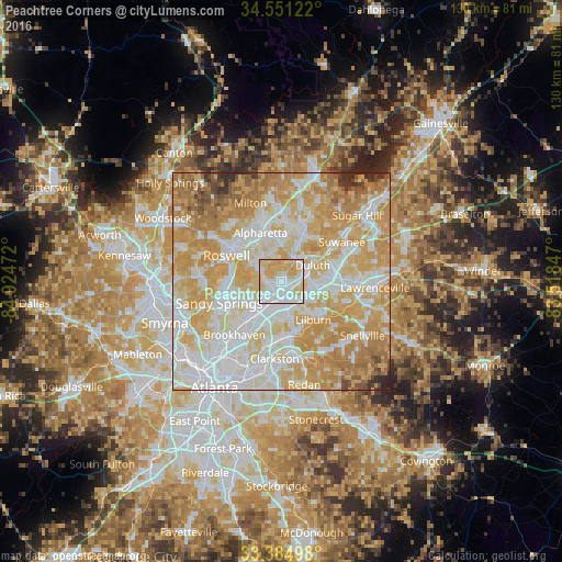
Analysis of Peachtree Corners night lights 2016
Square area 10x10 km:
 39.51%
90-99
23.08%80-89
26.92%70-79
10.49%60-69
0%50-59
0%40-49
0%30-39
0%20-29
0%10-19
0%0-9
0%Square area 50x50 km:
23%90-99
21.63%80-89
18.45%70-79
20.88%60-69
9.42%50-59
2.79%40-49
1.67%30-39
1.11%20-29
1.03%10-19
0.01%0-9
0%Clear (daylight) street map image can be seen on geolist.org.
Map coordinates:
34° 33' 4.4" North, 84° 55' 29" West
33° 58' 12.4" North, 84° 13' 17.7" West
33° 23' 5.9" North, 83° 31' 6.5" West
Some cities around Peachtree Corners sort by population:
• Johns Creek
6.9 km =4.3 mi,  17°
17°
• Dunwoody
10.8 km =6.7 mi,  255°
255°
• Duluth
8 km =5 mi,  62°
62°
• Chamblee
11.2 km =7 mi,  219°
219°
• Tucker
12.9 km =8 mi,  178°
178°
• Norcross
3.3 km =2.1 mi,  166°
166°
• Lilburn
11.5 km =7.1 mi,  140°
140°
• Doraville
9.8 km =6.1 mi, 215°
4215114 (p: 40,978)
Sources (retrieved 2019-11-25):
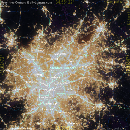
» Earth at Night: Flat Maps 2012, 2016