Duluth night lights from space
Night Light of Duluth (Georgia) from space (United States) Src. Average luminocity for 10x10km area is 90.1399% and for 50x50km: 80.073%.
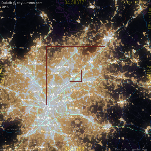
Analysis of Duluth night lights 2016
Square area 10x10 km:
 26.75%
90-99
25.52%80-89
32.69%70-79
13.64%60-69
1.4%50-59
0%40-49
0%30-39
0%20-29
0%10-19
0%0-9
0%Square area 50x50 km:
18.85%90-99
18.77%80-89
17.22%70-79
20.8%60-69
12.88%50-59
3.95%40-49
2.54%30-39
2.44%20-29
2.3%10-19
0.26%0-9
0%Clear (daylight) street map image can be seen on geolist.org.
Map coordinates:
34° 35' 1.6" North, 84° 50' 52" West
34° 0' 10.4" North, 84° 8' 40.7" West
33° 25' 4.8" North, 83° 26' 29.5" West
Some cities around Duluth sort by population:
• Johns Creek
5.8 km =3.6 mi,  300°
300°
• Alpharetta
16 km =9.9 mi, 300°
• Peachtree Corners
8 km =5 mi,  242°
242°
• Lawrenceville
15.4 km =9.6 mi,  109°
109°
• Sugar Hill
15.4 km =9.6 mi,  41°
41°
• Suwanee
8.7 km =5.4 mi,  51°
51°
• Norcross
9.3 km =5.8 mi,  222°
222°
• Lilburn
12.5 km =7.8 mi,  179°
179°
4192289 (p: 29,193)
Sources (retrieved 2019-11-25):
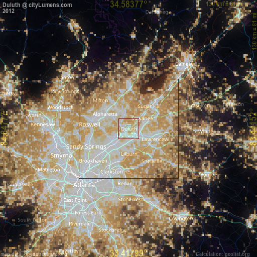
» Earth at Night: Flat Maps 2012, 2016