Dunwoody night lights from space
Night Light of Dunwoody (Georgia) from space (United States) Src. Average luminocity for 10x10km area is 91.4476% and for 50x50km: 87.8816%.
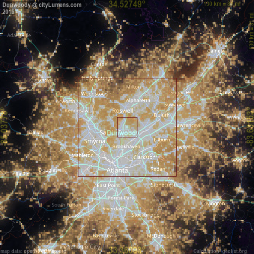
Analysis of Dunwoody night lights 2016
Square area 10x10 km:
 30.59%
90-99
29.2%80-89
26.4%70-79
13.81%60-69
0%50-59
0%40-49
0%30-39
0%20-29
0%10-19
0%0-9
0%Square area 50x50 km:
27.44%90-99
25.61%80-89
20.04%70-79
17.88%60-69
6.05%50-59
1.73%40-49
0.91%30-39
0.32%20-29
0.02%10-19
0%0-9
0%Clear (daylight) street map image can be seen on geolist.org.
Map coordinates:
34° 31' 39" North, 85° 2' 16" West
33° 56' 46.4" North, 84° 20' 4.7" West
33° 21' 39.3" North, 83° 37' 53.5" West
Some cities around Dunwoody sort by population:
• Sandy Springs
4.7 km =2.9 mi,  238°
238°
• Roswell
8.9 km =5.5 mi,  343°
343°
• Brookhaven
9.8 km =6.1 mi,  183°
183°
• Peachtree Corners
10.8 km =6.7 mi,  75°
75°
• North Atlanta
9 km =5.6 mi, 181°
• Chamblee
6.9 km =4.3 mi,  151°
151°
• Norcross
11.2 km =7 mi,  92°
92°
• Doraville
7.1 km =4.4 mi,  138°
138°
4192375 (p: 48,733)
Sources (retrieved 2019-11-25):
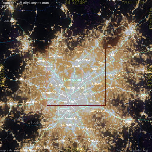
» Earth at Night: Flat Maps 2012, 2016