Johns Creek night lights from space
Night Light of Johns Creek (Georgia) from space (United States) Src. Average luminocity for 10x10km area is 89.7937% and for 50x50km: 79.1125%.
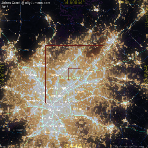
Analysis of Johns Creek night lights 2016
Square area 10x10 km:
 24.13%
90-99
27.1%80-89
31.47%70-79
16.96%60-69
0.35%50-59
0%40-49
0%30-39
0%20-29
0%10-19
0%0-9
0%Square area 50x50 km:
17.88%90-99
18.68%80-89
17.71%70-79
21.26%60-69
10.9%50-59
4.15%40-49
2.74%30-39
2.93%20-29
3.35%10-19
0.41%0-9
0%Clear (daylight) street map image can be seen on geolist.org.
Map coordinates:
34° 36' 34.7" North, 84° 54' 6.2" West
34° 1' 44.1" North, 84° 11' 54.9" West
33° 26' 39.2" North, 83° 29' 43.7" West
Some cities around Johns Creek sort by population:
• Roswell
15 km =9.3 mi,  267°
267°
• Alpharetta
10.2 km =6.3 mi,  300°
300°
• Dunwoody
15.6 km =9.7 mi,  233°
233°
• Peachtree Corners
6.9 km =4.3 mi,  197°
197°
• Milton
14.8 km =9.2 mi,  320°
320°
• Duluth
5.8 km =3.6 mi,  120°
120°
• Suwanee
12 km =7.5 mi,  77°
77°
• Norcross
9.9 km =6.2 mi,  188°
188°
6331909 (p: 83,335)
Sources (retrieved 2019-11-25):
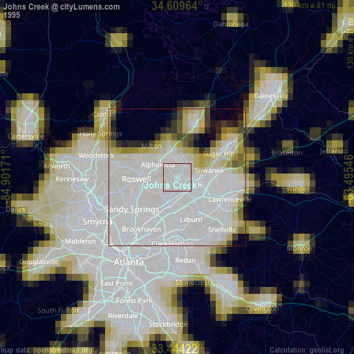
» NASA, Earths city lights 1995
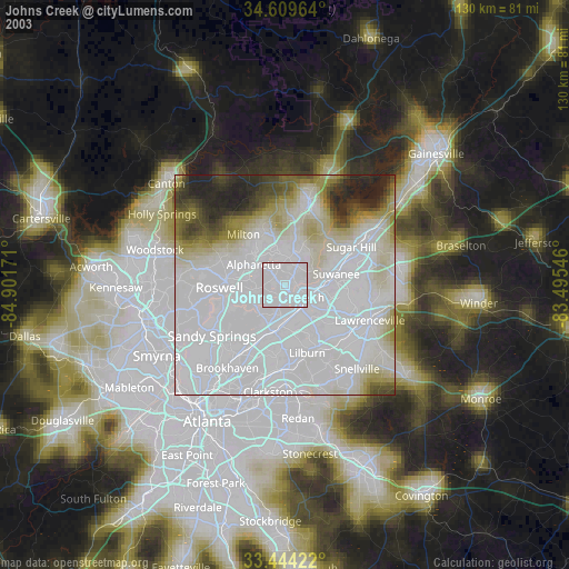
» NASA city lights 2003
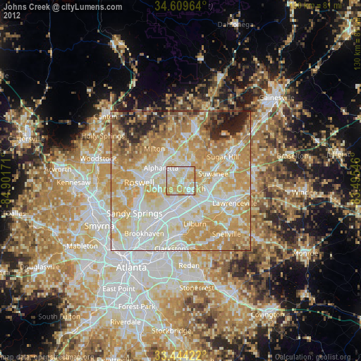
» Earth at Night: Flat Maps 2012, 2016