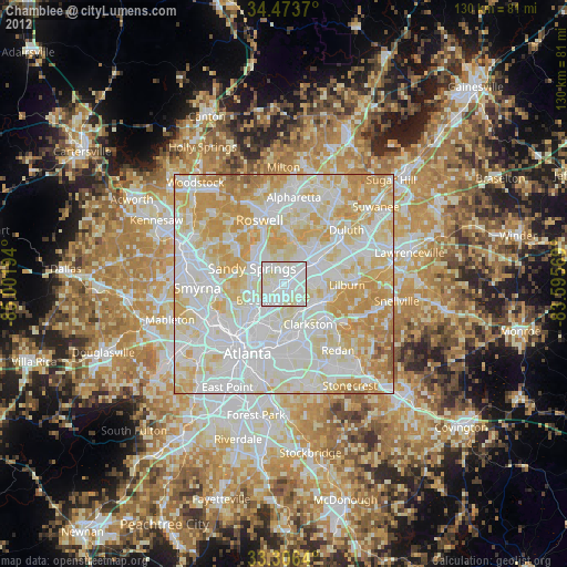
Chamblee night lights from space
Night Light of Chamblee (Georgia) from space (United States) Src. Average luminocity for 10x10km area is 97.2517% and for 50x50km: 89.5578%.
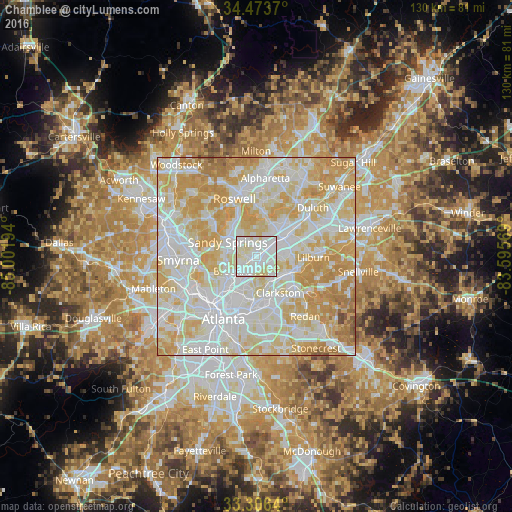
Analysis of Chamblee night lights 2016
Square area 10x10 km:
 47.9%
47.9%90-99
42.48%80-89
9.62%70-79
0%60-69
0%50-59
0%40-49
0%30-39
0%20-29
0%10-19
0%0-9
0%Square area 50x50 km:
29.89%90-99
26.87%80-89
20.71%70-79
17.05%60-69
4.51%50-59
0.69%40-49
0.28%30-39
0%20-29
0%10-19
0%0-9
0%Clear (daylight) street map image can be seen on geolist.org.
Map coordinates:
34° 28' 25.3" North, 85° 0' 7" West
33° 53' 31.4" North, 84° 17' 55.7" West
33° 18' 23" North, 83° 35' 44.5" West
Some cities around Chamblee sort by population:
• Sandy Springs
8.2 km =5.1 mi,  295°
295°
• Brookhaven
5.3 km =3.3 mi,  225°
225°
• Dunwoody
6.9 km =4.3 mi,  331°
331°
• North Atlanta
4.6 km =2.9 mi, 229°
• Tucker
8.6 km =5.3 mi,  118°
118°
• North Druid Hills
8.5 km =5.3 mi,  189°
189°
• Norcross
9.6 km =6 mi,  55°
55°
• Doraville
1.6 km =1 mi, 64°
4187204 (p: 28,244)
Sources (retrieved 2019-11-25):
» Earth at Night: Flat Maps 2012, 2016