Tucker night lights from space
Night Light of Tucker (Georgia) from space (United States) Src. Average luminocity for 10x10km area is 93.5717% and for 50x50km: 86.8043%.
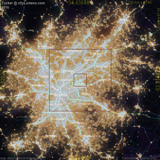
Analysis of Tucker night lights 2016
Square area 10x10 km:
 32.52%
90-99
38.64%80-89
20.45%70-79
8.39%60-69
0%50-59
0%40-49
0%30-39
0%20-29
0%10-19
0%0-9
0%Square area 50x50 km:
27.51%90-99
24.25%80-89
19.01%70-79
18.53%60-69
6.43%50-59
1.39%40-49
1.27%30-39
0.79%20-29
0.78%10-19
0.04%0-9
0%Clear (daylight) street map image can be seen on geolist.org.
Map coordinates:
34° 26' 11.3" North, 84° 55' 13" West
33° 51' 16.4" North, 84° 13' 1.7" West
33° 16' 7.1" North, 83° 30' 50.5" West
Some cities around Tucker sort by population:
• Chamblee
8.6 km =5.3 mi,  298°
298°
• Norcross
9.6 km =6 mi,  1°
1°
• Lilburn
7.9 km =4.9 mi,  60°
60°
• Clarkston
5.4 km =3.4 mi,  202°
202°
• Mountain Park
8.2 km =5.1 mi,  98°
98°
• Doraville
7.8 km =4.8 mi,  308°
308°
• Scottdale
8.4 km =5.2 mi,  211°
211°
• Stone Mountain
6.7 km =4.2 mi,  139°
139°
4227213 (p: 27,581)
Sources (retrieved 2019-11-25):
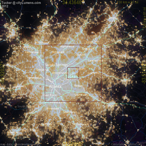
» Earth at Night: Flat Maps 2012, 2016