Cedar Falls night lights from space
Night Light of Cedar Falls (Iowa) from space (United States) Src. Average luminocity for 10x10km area is 51.873% and for 50x50km: 9.1848%.
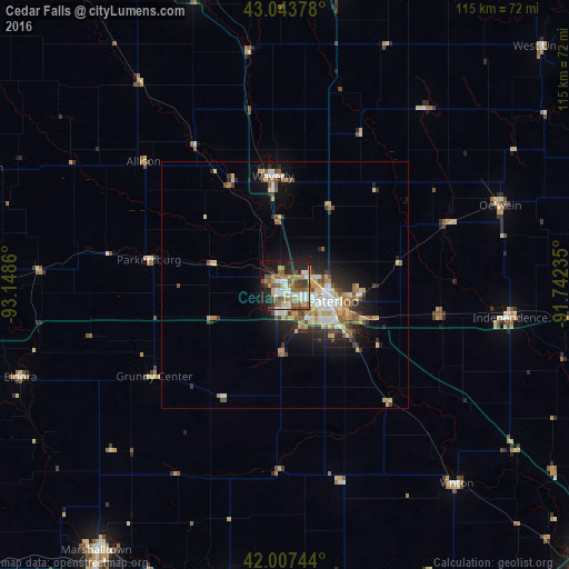
Analysis of Cedar Falls night lights 2016
Square area 10x10 km:
 9.05%
9.05%90-99
10%80-89
5.08%70-79
6.03%60-69
10.95%50-59
12.54%40-49
6.19%30-39
4.76%20-29
12.86%10-19
18.73%0-9
3.81%Square area 50x50 km:
1.23%90-99
1.43%80-89
1.53%70-79
1.13%60-69
1.34%50-59
1.4%40-49
1.19%30-39
1.09%20-29
2.37%10-19
5.18%0-9
82.12%Clear (daylight) street map image can be seen on geolist.org.
Map coordinates:
43° 2' 37.6" North, 93° 8' 55" West
42° 31' 39.9" North, 92° 26' 43.7" West
42° 0' 26.8" North, 91° 44' 32.5" West
Some cities around Cedar Falls sort by population:
• Waterloo
9.3 km =5.8 mi,  114°
114°
• Marshalltown
65.4 km =40.6 mi,  215°
215°
• Waverly
22.2 km =13.8 mi,  353°
353°
• Charles City
62.7 km =39 mi,  342°
342°
• Oelwein
46.5 km =28.9 mi,  69°
69°
• Independence
46.1 km =28.6 mi,  98°
98°
• Iowa Falls
66 km =41 mi,  269°
269°
• Vinton
52.9 km =32.9 mi,  139°
139°
4850699 (p: 41,255)
Sources (retrieved 2019-11-25):
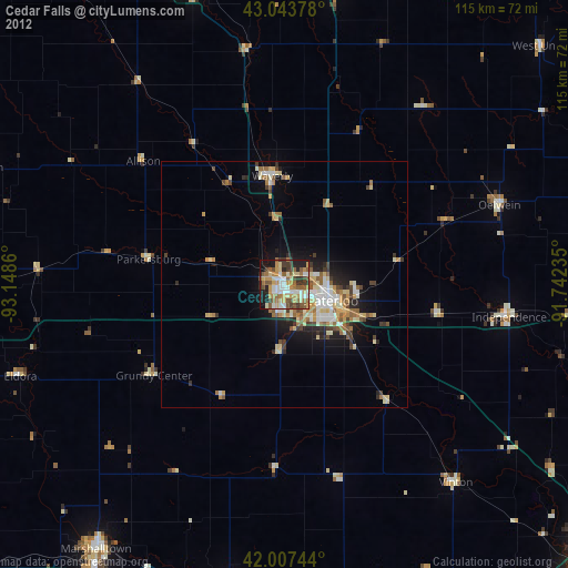
» Earth at Night: Flat Maps 2012, 2016