Northport night lights from space
Night Light of Northport (New York) from space (United States) Src. Average luminocity for 10x10km area is 50.8759% and for 50x50km: 48.6793%.
Analysis of Northport night lights 2016
Square area 10x10 km:
 2.55%
2.55%90-99
3.23%80-89
7.82%70-79
10.37%60-69
15.31%50-59
21.09%40-49
8.5%30-39
3.4%20-29
7.82%10-19
19.9%0-9
0%Square area 50x50 km:
12.16%90-99
10.94%80-89
6.48%70-79
8.98%60-69
7.36%50-59
6.67%40-49
3.6%30-39
2.11%20-29
4.91%10-19
9.27%0-9
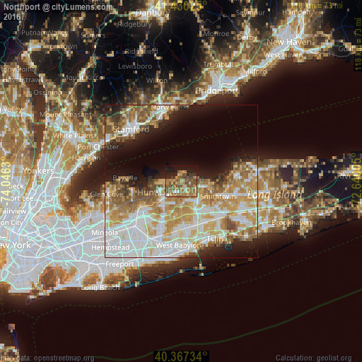
27.52%Clear (daylight) street map image can be seen on geolist.org.
Map coordinates:
41° 25' 48.9" North, 74° 2' 46.7" West
40° 54' 3.3" North, 73° 20' 35.4" West
40° 22' 2.4" North, 72° 38' 24.2" West
Some cities around Northport sort by population:
• Commack
7.7 km =4.8 mi,  146°
146°
• Huntington Station
7.8 km =4.8 mi,  227°
227°
• East Northport
3.1 km =1.9 mi, 149°
• Kings Park
7.4 km =4.6 mi,  102°
102°
• Greenlawn
4 km =2.5 mi,  207°
207°
• Elwood
6.2 km =3.9 mi,  173°
173°
• Fort Salonga
3.8 km =2.4 mi,  69°
69°
• Centerport
3.3 km =2.1 mi,  238°
238°
5129290 (p: 7,390)
Sources (retrieved 2019-11-25):
» Earth at Night: Flat Maps 2012, 2016