Huntington Station night lights from space
Night Light of Huntington Station (New York) from space (United States) Src. Average luminocity for 10x10km area is 69.8146% and for 50x50km: 52.765%.
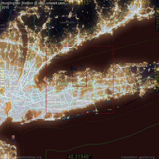
Analysis of Huntington Station night lights 2016
Square area 10x10 km:
 9.52%
9.52%90-99
10.54%80-89
6.46%70-79
15.65%60-69
26.7%50-59
19.39%40-49
10.88%30-39
0.85%20-29
0%10-19
0%0-9
0%Square area 50x50 km:
16.52%90-99
12.14%80-89
6.34%70-79
7.54%60-69
7.03%50-59
5.92%40-49
3.64%30-39
2.73%20-29
5.69%10-19
9.23%0-9
23.21%Clear (daylight) street map image can be seen on geolist.org.
Map coordinates:
41° 22' 59.3" North, 74° 6' 52.7" West
40° 51' 12.3" North, 73° 24' 41.4" West
40° 19' 10.1" North, 72° 42' 30.2" West
Some cities around Huntington Station sort by population:
• Melville
6.7 km =4.2 mi,  182°
182°
• Greenlawn
4.3 km =2.7 mi,  66°
66°
• Elwood
6.5 km =4 mi,  97°
97°
• South Huntington
3.5 km =2.2 mi,  161°
161°
• Woodbury
5.6 km =3.5 mi,  236°
236°
• West Hills
4.5 km =2.8 mi,  202°
202°
• Centerport
4.6 km =2.9 mi,  39°
39°
• Cold Spring Harbor
4.3 km =2.7 mi,  297°
297°
5121650 (p: 33,029)
Sources (retrieved 2019-11-25):
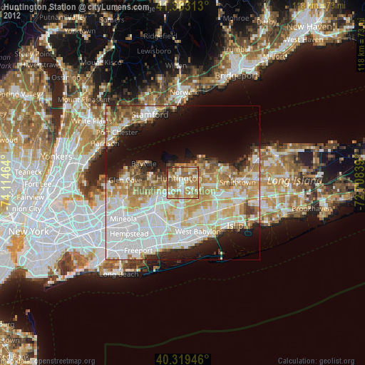
» Earth at Night: Flat Maps 2012, 2016