Centerport night lights from space
Night Light of Centerport (New York) from space (United States) Src. Average luminocity for 10x10km area is 60.5833% and for 50x50km: 50.271%.
Analysis of Centerport night lights 2016
Square area 10x10 km:
 6.12%
6.12%90-99
6.63%80-89
11.05%70-79
13.44%60-69
17.52%50-59
19.05%40-49
6.8%30-39
1.02%20-29
9.35%10-19
9.01%0-9
0%Square area 50x50 km:
13.94%90-99
11.48%80-89
6.37%70-79
8.02%60-69
7.22%50-59
6.58%40-49
3.8%30-39
2.37%20-29
5.18%10-19
9.21%0-9
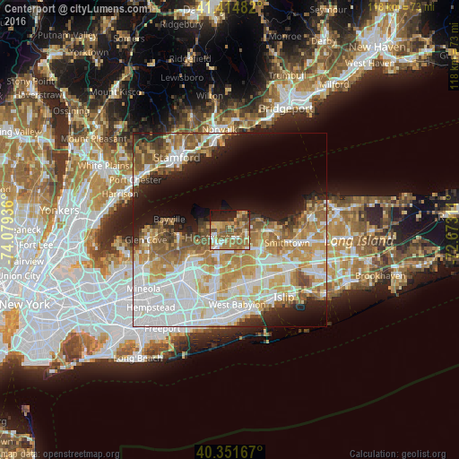
25.83%Clear (daylight) street map image can be seen on geolist.org.
Map coordinates:
41° 24' 53.4" North, 74° 4' 45.7" West
40° 53' 7.4" North, 73° 22' 34.4" West
40° 21' 6" North, 72° 40' 23.2" West
Some cities around Centerport sort by population:
• Huntington Station
4.6 km =2.9 mi,  219°
219°
• East Northport
4.4 km =2.7 mi,  102°
102°
• Huntington
4.6 km =2.9 mi,  245°
245°
• Greenlawn
2 km =1.2 mi,  152°
152°
• Elwood
5.6 km =3.5 mi,  142°
142°
• Fort Salonga
7 km =4.3 mi,  64°
64°
• Northport
3.3 km =2.1 mi, 58°
• Cold Spring Harbor
6.9 km =4.3 mi,  257°
257°
5112038 (p: 5,508)
Sources (retrieved 2019-11-25):
» Earth at Night: Flat Maps 2012, 2016