East Northport night lights from space
Night Light of East Northport (New York) from space (United States) Src. Average luminocity for 10x10km area is 65.2279% and for 50x50km: 48.7315%.
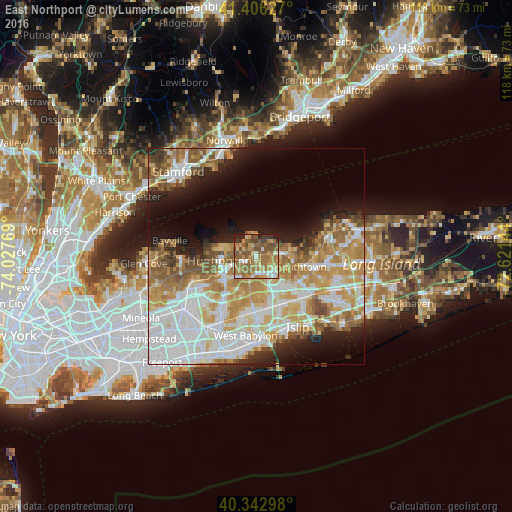
Analysis of East Northport night lights 2016
Square area 10x10 km:
 5.61%
5.61%90-99
8.5%80-89
9.18%70-79
14.8%60-69
24.49%50-59
19.05%40-49
9.35%30-39
3.74%20-29
4.76%10-19
0.51%0-9
0%Square area 50x50 km:
12.57%90-99
11.27%80-89
6.27%70-79
8.93%60-69
7.27%50-59
6.35%40-49
3.31%30-39
2.13%20-29
4.86%10-19
8.42%0-9
28.61%Clear (daylight) street map image can be seen on geolist.org.
Map coordinates:
41° 24' 22.6" North, 74° 1' 39.7" West
40° 52' 36.3" North, 73° 19' 28.4" West
40° 20' 34.7" North, 72° 37' 17.2" West
Some cities around East Northport sort by population:
• Commack
4.6 km =2.9 mi,  144°
144°
• Huntington Station
7.8 km =4.8 mi,  250°
250°
• Kings Park
5.7 km =3.5 mi,  79°
79°
• Greenlawn
3.5 km =2.2 mi,  255°
255°
• Elwood
3.6 km =2.2 mi,  194°
194°
• Fort Salonga
4.5 km =2.8 mi,  26°
26°
• Northport
3.1 km =1.9 mi,  329°
329°
• Centerport
4.4 km =2.7 mi,  282°
282°
5115989 (p: 20,217)
Sources (retrieved 2019-11-25):
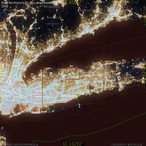
» Earth at Night: Flat Maps 2012, 2016