Fort Salonga night lights from space
Night Light of Fort Salonga (New York) from space (United States) Src. Average luminocity for 10x10km area is 42.1276% and for 50x50km: 46.9091%.
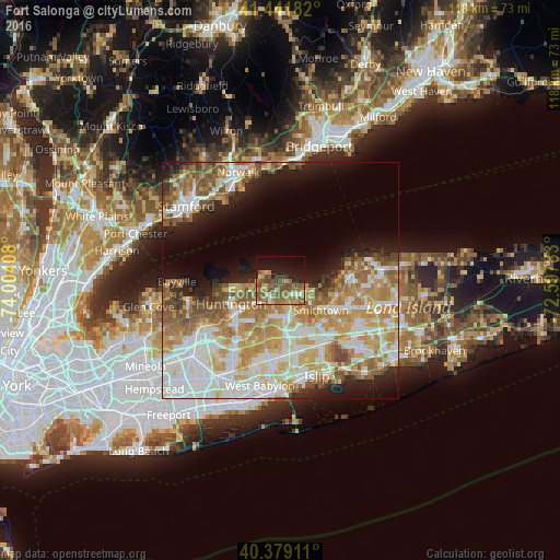
Analysis of Fort Salonga night lights 2016
Square area 10x10 km:
 2.21%
2.21%90-99
3.74%80-89
4.25%70-79
7.14%60-69
13.44%50-59
15.82%40-49
8.67%30-39
3.4%20-29
6.12%10-19
21.26%0-9
13.95%Square area 50x50 km:
10.51%90-99
10.6%80-89
6.31%70-79
9.06%60-69
7.83%50-59
6.83%40-49
3.65%30-39
2.01%20-29
4.73%10-19
9.07%0-9
29.4%Clear (daylight) street map image can be seen on geolist.org.
Map coordinates:
41° 26' 30.6" North, 74° 0' 14.7" West
40° 54' 45.4" North, 73° 18' 3.4" West
40° 22' 44.8" North, 72° 35' 52.2" West
Some cities around Fort Salonga sort by population:
• Commack
7.8 km =4.8 mi,  175°
175°
• Smithtown
10.5 km =6.5 mi,  126°
126°
• East Northport
4.5 km =2.8 mi,  206°
206°
• Kings Park
4.7 km =2.9 mi, 128°
• Greenlawn
7.3 km =4.5 mi,  228°
228°
• Elwood
8 km =5 mi,  201°
201°
• Northport
3.8 km =2.4 mi,  249°
249°
• Centerport
7 km =4.3 mi,  244°
244°
5117703 (p: 10,008)
Sources (retrieved 2019-11-25):
» Earth at Night: Flat Maps 2012, 2016