Reynoldsburg night lights from space
Night Light of Reynoldsburg (Ohio) from space (United States) Src. Average luminocity for 10x10km area is 93.0816% and for 50x50km: 47.4104%.
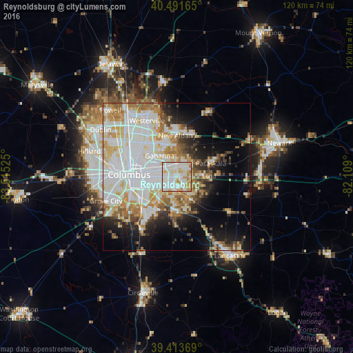
Analysis of Reynoldsburg night lights 2016
Square area 10x10 km:
 32.82%
90-99
42.01%80-89
8.5%70-79
13.27%60-69
3.4%50-59
0%40-49
0%30-39
0%20-29
0%10-19
0%0-9
0%Square area 50x50 km:
14.74%90-99
12.96%80-89
5.16%70-79
5.68%60-69
5.41%50-59
3.83%40-49
2.71%30-39
3.2%20-29
5.33%10-19
9.15%0-9
31.83%Clear (daylight) street map image can be seen on geolist.org.
Map coordinates:
40° 29' 29.9" North, 83° 30' 54.9" West
39° 57' 17.2" North, 82° 48' 43.6" West
39° 24' 49.3" North, 82° 6' 32.4" West
Some cities around Reynoldsburg sort by population:
• Gahanna
9.2 km =5.7 mi,  321°
321°
• Pickerington
9.3 km =5.8 mi,  147°
147°
• Whitehall
6.4 km =4 mi,  281°
281°
• Pataskala
12.6 km =7.8 mi,  68°
68°
• Bexley
10.8 km =6.7 mi, 278°
• Blacklick Estates
7.1 km =4.4 mi,  218°
218°
• Canal Winchester
12.5 km =7.8 mi,  177°
177°
• Groveport
10.5 km =6.5 mi, 215°
4522411 (p: 37,158)
Sources (retrieved 2019-11-25):
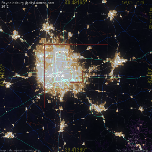
» Earth at Night: Flat Maps 2012, 2016