New York City night lights from space
Night Light of New York City (New York) from space (United States) Src. Average luminocity for 10x10km area is 96.3718% and for 50x50km: 80.4831%.
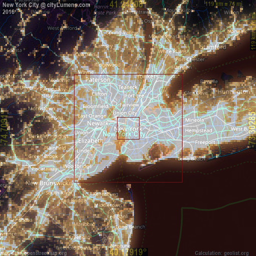
Analysis of New York City night lights 2016
Square area 10x10 km:
 74.03%
90-99
12.18%80-89
3.9%70-79
7.95%60-69
1.95%50-59
0%40-49
0%30-39
0%20-29
0%10-19
0%0-9
0%Square area 50x50 km:
47.17%90-99
19.75%80-89
5.28%70-79
5.02%60-69
2.93%50-59
1.49%40-49
1.88%30-39
2.24%20-29
3.47%10-19
3.4%0-9
7.36%Clear (daylight) street map image can be seen on geolist.org.
Map coordinates:
41° 14' 42.3" North, 74° 42' 32.8" West
40° 42' 51.4" North, 74° 0' 21.5" West
40° 10' 45.1" North, 73° 18' 10.3" West
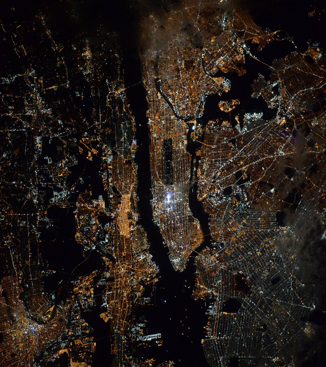
Fantastic image of New York City from space taken by astronauts [src2], but I don't have information about it's orientation, scale or angle. If necessary, it was rotated manually, so North points approximately to upper direction. Click to zoom in:
Some cities around New York City sort by population:
• Park Slope
5.2 km =3.2 mi,  161°
161°
• East Village
2.3 km =1.4 mi,  43°
43°
• Financial District
0.7 km =0.4 mi,  197°
197°
• Hoboken
4 km =2.5 mi,  326°
326°
• Greenpoint
4.8 km =3 mi,  77°
77°
• Williamsburg
4.4 km =2.7 mi,  90°
90°
• Gramercy Park
3.1 km =1.9 mi,  32°
32°
• Brooklyn Heights
2.3 km =1.4 mi,  153°
153°
5128581 (p: 8,175,133)
Sources (retrieved 2019-11-25):
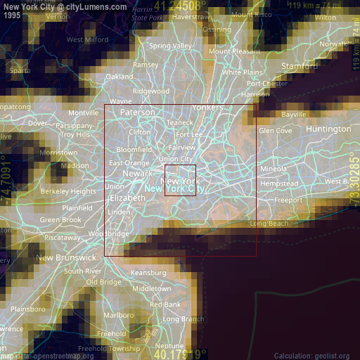
» NASA, Earths city lights 1995
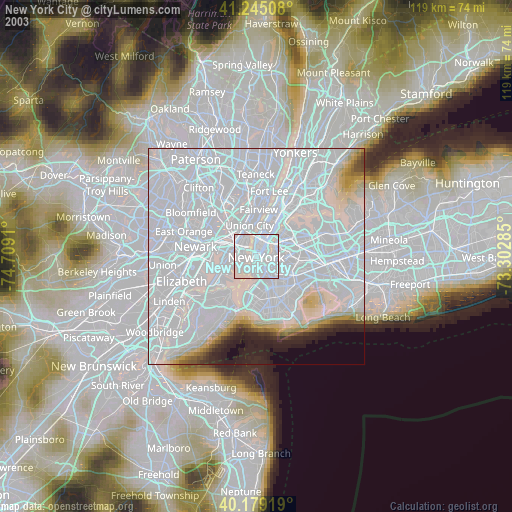
» NASA city lights 2003
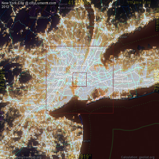
» Earth at Night: Flat Maps 2012, 2016
Src.2: Tim Kopra, Twitter/@astro_tim, 2016-03-17