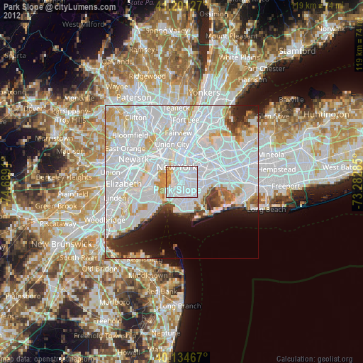
Park Slope night lights from space
Night Light of Park Slope (New York) from space (United States) Src. Average luminocity for 10x10km area is 96.8328% and for 50x50km: 72.2621%.

Analysis of Park Slope night lights 2016
Square area 10x10 km:
 76.14%
90-99
12.34%80-89
3.41%70-79
6.17%60-69
1.79%50-59
0.16%40-49
0%30-39
0%20-29
0%10-19
0%0-9
0%Square area 50x50 km:
43.26%90-99
16.39%80-89
4.38%70-79
3.89%60-69
2.56%50-59
1.69%40-49
2.11%30-39
2.76%20-29
4.3%10-19
4.53%0-9
14.14%Clear (daylight) street map image can be seen on geolist.org.
Map coordinates:
41° 12' 4.6" North, 74° 41' 20.8" West
40° 40' 12.4" North, 73° 59' 9.5" West
40° 8' 4.8" North, 73° 16' 58.3" West
Some cities around Park Slope sort by population:
• Brooklyn
3.8 km =2.4 mi,  125°
125°
• East Flatbush
5 km =3.1 mi,  111°
111°
• Borough Park
4.1 km =2.5 mi,  192°
192°
• Sunset Park
3.5 km =2.2 mi,  219°
219°
• Flatbush
3 km =1.9 mi, 131°
• Financial District
4.6 km =2.9 mi,  335°
335°
• Kensington
3 km =1.9 mi,  154°
154°
• Brooklyn Heights
2.9 km =1.8 mi,  346°
346°
5130561 (p: 65,047)
Sources (retrieved 2019-11-25):
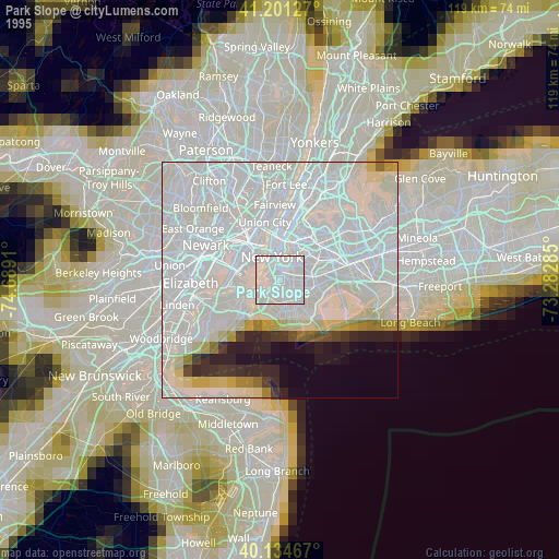
» NASA, Earths city lights 1995
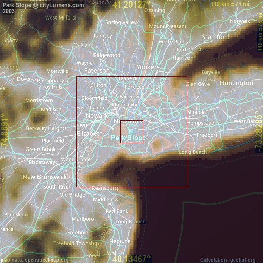
» NASA city lights 2003
» Earth at Night: Flat Maps 2012, 2016