Financial District night lights from space
Night Light of Financial District (New York) from space (United States) Src. Average luminocity for 10x10km area is 95.3377% and for 50x50km: 79.293%.
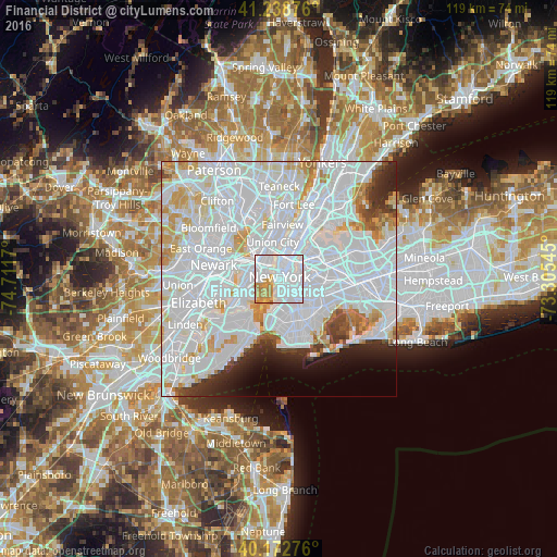
Analysis of Financial District night lights 2016
Square area 10x10 km:
 68.34%
90-99
13.8%80-89
5.19%70-79
10.23%60-69
2.27%50-59
0.16%40-49
0%30-39
0%20-29
0%10-19
0%0-9
0%Square area 50x50 km:
46.69%90-99
19.33%80-89
5.12%70-79
4.88%60-69
2.76%50-59
1.4%40-49
1.97%30-39
2.33%20-29
3.54%10-19
3.48%0-9
8.5%Clear (daylight) street map image can be seen on geolist.org.
Map coordinates:
41° 14' 19.5" North, 74° 42' 42.1" West
40° 42' 28.4" North, 74° 0' 30.9" West
40° 10' 21.9" North, 73° 18' 19.6" West
Some cities around Financial District sort by population:
• New York City
0.7 km =0.4 mi,  17°
17°
• Park Slope
4.6 km =2.9 mi,  155°
155°
• East Village
3 km =1.9 mi,  36°
36°
• Hoboken
4.5 km =2.8 mi,  333°
333°
• Greenpoint
5.2 km =3.2 mi,  70°
70°
• Williamsburg
4.7 km =2.9 mi,  81°
81°
• Gramercy Park
3.8 km =2.4 mi,  29°
29°
• Brooklyn Heights
1.9 km =1.2 mi,  138°
138°
8436473 (p: 60,976)
Sources (retrieved 2019-11-25):
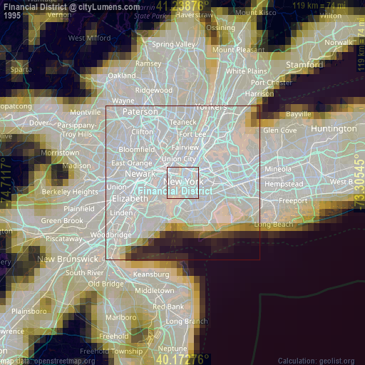
» NASA, Earths city lights 1995
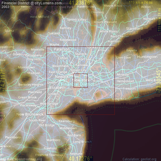
» NASA city lights 2003
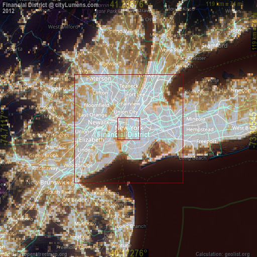
» Earth at Night: Flat Maps 2012, 2016