Hoboken night lights from space
Night Light of Hoboken (New Jersey) from space (United States) Src. Average luminocity for 10x10km area is 98.8458% and for 50x50km: 85.4589%.
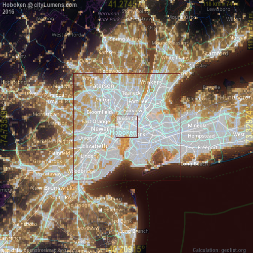
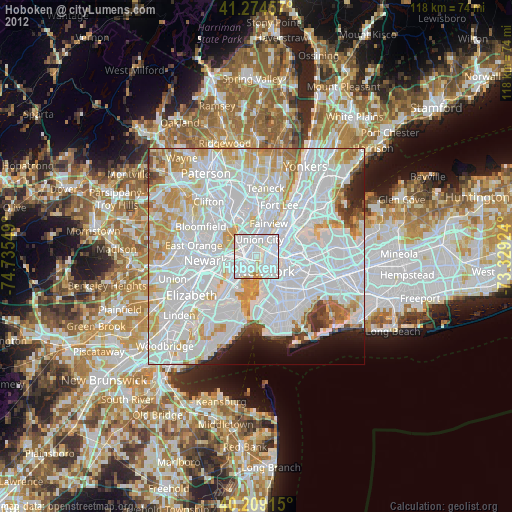
Analysis of Hoboken night lights 2016
Square area 10x10 km:
 75.81%
90-99
19.64%80-89
2.6%70-79
1.95%60-69
0%50-59
0%40-49
0%30-39
0%20-29
0%10-19
0%0-9
0%Square area 50x50 km:
47.46%90-99
21.22%80-89
6.97%70-79
6.88%60-69
4.26%50-59
1.77%40-49
1.94%30-39
1.85%20-29
2.36%10-19
2.61%0-9
2.69%Clear (daylight) street map image can be seen on geolist.org.
Map coordinates:
41° 16' 28.5" North, 74° 44' 7.8" West
40° 44' 38.4" North, 74° 1' 56.5" West
40° 12' 32.9" North, 73° 19' 45.3" West
Some cities around Hoboken sort by population:
• New York City
4 km =2.5 mi,  146°
146°
• Jersey City
4.2 km =2.6 mi,  245°
245°
• Union City
4 km =2.5 mi,  10°
10°
• East Village
4.1 km =2.5 mi,  113°
113°
• Financial District
4.5 km =2.8 mi, 153°
• Hell's Kitchen
4.2 km =2.6 mi,  56°
56°
• Gramercy Park
4 km =2.5 mi,  100°
100°
• Weehawken
3 km =1.9 mi,  19°
19°
5099133 (p: 53,635)
Sources (retrieved 2019-11-25):
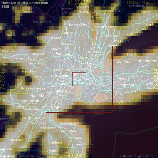
» NASA, Earths city lights 1995
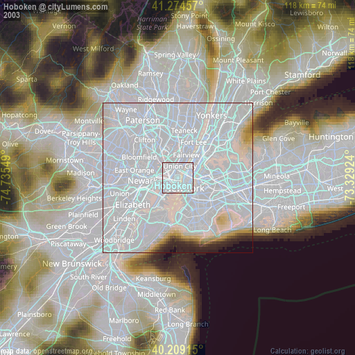
» NASA city lights 2003
» Earth at Night: Flat Maps 2012, 2016