Brooklyn Heights night lights from space
Night Light of Brooklyn Heights (New York) from space (United States) Src. Average luminocity for 10x10km area is 95.9221% and for 50x50km: 76.4823%.
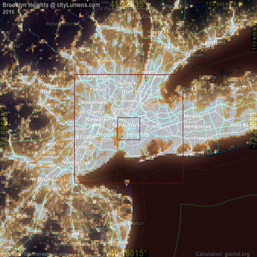
Analysis of Brooklyn Heights night lights 2016
Square area 10x10 km:
 71.43%
90-99
13.15%80-89
4.87%70-79
8.6%60-69
1.79%50-59
0.16%40-49
0%30-39
0%20-29
0%10-19
0%0-9
0%Square area 50x50 km:
45.6%90-99
18.21%80-89
4.62%70-79
4.3%60-69
2.6%50-59
1.51%40-49
1.99%30-39
2.52%20-29
3.93%10-19
4.08%0-9
10.66%Clear (daylight) street map image can be seen on geolist.org.
Map coordinates:
41° 13' 34.9" North, 74° 41' 48.8" West
40° 41' 43.4" North, 73° 59' 37.5" West
40° 9' 36.5" North, 73° 17' 26.3" West
Some cities around Brooklyn Heights sort by population:
• New York City
2.3 km =1.4 mi,  333°
333°
• Flatbush
5.6 km =3.5 mi,  148°
148°
• Park Slope
2.9 km =1.8 mi,  166°
166°
• East Village
3.8 km =2.4 mi,  8°
8°
• Financial District
1.9 km =1.2 mi,  318°
318°
• Greenpoint
4.8 km =3 mi,  48°
48°
• Williamsburg
4 km =2.5 mi,  58°
58°
• Gramercy Park
4.7 km =2.9 mi, 7°
5110309 (p: 20,256)
Sources (retrieved 2019-11-25):
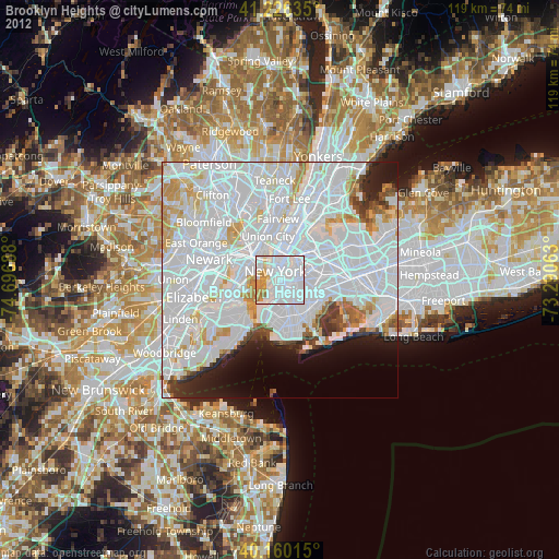
» Earth at Night: Flat Maps 2012, 2016