New Cassel night lights from space
Night Light of New Cassel (New York) from space (United States) Src. Average luminocity for 10x10km area is 94.9188% and for 50x50km: 59.7961%.
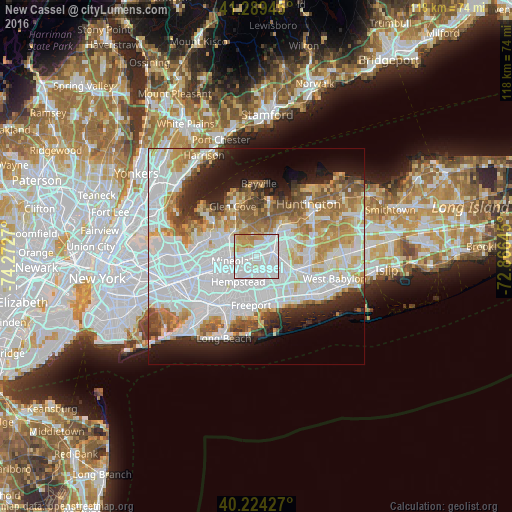
Analysis of New Cassel night lights 2016
Square area 10x10 km:
 48.38%
90-99
32.14%80-89
6.49%70-79
11.36%60-69
1.62%50-59
0%40-49
0%30-39
0%20-29
0%10-19
0%0-9
0%Square area 50x50 km:
24.6%90-99
13.5%80-89
5.68%70-79
6.64%60-69
6.32%50-59
4.78%40-49
3.47%30-39
3%20-29
5.88%10-19
8.48%0-9
17.65%Clear (daylight) street map image can be seen on geolist.org.
Map coordinates:
41° 17' 22" North, 74° 16' 21.7" West
40° 45' 32.4" North, 73° 34' 10.5" West
40° 13' 27.4" North, 72° 51' 59.2" West
Some cities around New Cassel sort by population:
• Levittown
5.9 km =3.7 mi,  128°
128°
• Hicksville
3.9 km =2.4 mi,  74°
74°
• East Meadow
5.1 km =3.2 mi,  169°
169°
• Mineola
6.1 km =3.8 mi,  259°
259°
• Westbury
1.6 km =1 mi, 256°
• Jericho
4.4 km =2.7 mi,  34°
34°
• Salisbury
1.7 km =1.1 mi,  151°
151°
• East Garden City
3.9 km =2.4 mi,  217°
217°
5128478 (p: 14,059)
Sources (retrieved 2019-11-25):
» Earth at Night: Flat Maps 2012, 2016