Jericho night lights from space
Night Light of Jericho (New York) from space (United States) Src. Average luminocity for 10x10km area is 87.4951% and for 50x50km: 59.8337%.
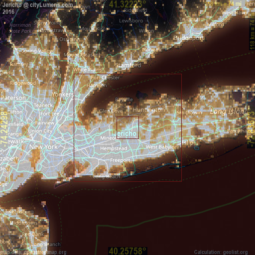
Analysis of Jericho night lights 2016
Square area 10x10 km:
 33.93%
90-99
29.06%80-89
5.03%70-79
10.55%60-69
15.75%50-59
5.03%40-49
0.65%30-39
0%20-29
0%10-19
0%0-9
0%Square area 50x50 km:
22.63%90-99
13.93%80-89
6.1%70-79
7.54%60-69
7.13%50-59
4.88%40-49
3.25%30-39
3.06%20-29
6.69%10-19
8.04%0-9
16.75%Clear (daylight) street map image can be seen on geolist.org.
Map coordinates:
41° 19' 20" North, 74° 14' 34.7" West
40° 47' 31.3" North, 73° 32' 23.5" West
40° 15' 27.3" North, 72° 50' 12.2" West
Some cities around Jericho sort by population:
• Hicksville
2.9 km =1.8 mi,  154°
154°
• Plainview
6.3 km =3.9 mi,  105°
105°
• Syosset
5 km =3.1 mi,  39°
39°
• Bethpage
7.2 km =4.5 mi,  137°
137°
• Westbury
5.7 km =3.5 mi,  224°
224°
• New Cassel
4.4 km =2.7 mi,  214°
214°
• Salisbury
5.4 km =3.4 mi,  198°
198°
• Woodbury
7.1 km =4.4 mi,  58°
58°
5122638 (p: 13,567)
Sources (retrieved 2019-11-25):
» Earth at Night: Flat Maps 2012, 2016